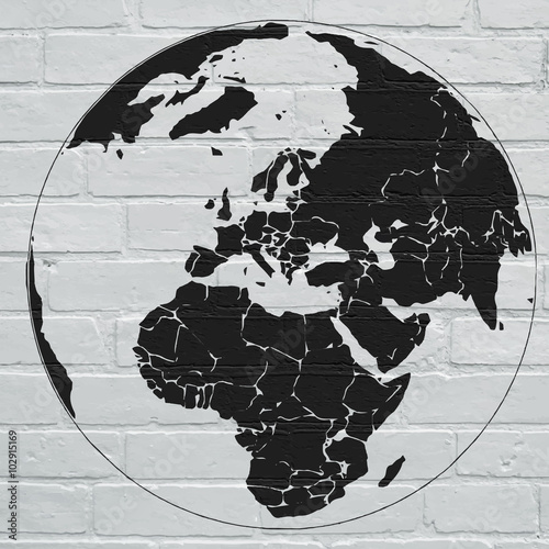
Lustra Na Wymiar Street art, planisphère en projection de Mercator

Zapytaj o produkt
Do ulubionych Autor motywu: ©brimeux id motywu: #14667
Ustaw kadr przesuwając kursor z wciśnietym lewym klawiszem myszki
Wydruk nie będzie posiadał znaku wodnego
Wybierz parametry produktu:
Wybierz układ:
Dodatkowe opcje
x 0,00
Do koszyka


Zobacz także motywy:
 Street art, planisphère en projection de Mercator
Street art, planisphère en projection de Mercator (#14667)
zmień rozmiar
 Realistic Planet Earth with natural water
Realistic Planet Earth with natural water (#9823)
zmień rozmiar
 grunge world map background
grunge world map background (#8450)
zmień rozmiar
 planeta tierra desde el espacio
planeta tierra desde el espacio (#9731)
zmień rozmiar
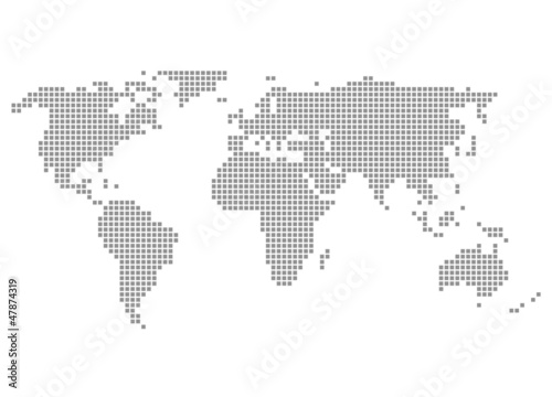
 Welt grau - Serie: Pixelkarte Kontinente
Welt grau - Serie: Pixelkarte Kontinente (#8460)
zmień rozmiar
 Código global
Código global (#10268)
zmień rozmiar
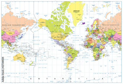
 America Centered Political World Map isolated on white
America Centered Political World Map isolated on white (#2091)
zmień rozmiar
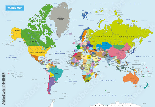
 New Detailed Political World Map
New Detailed Political World Map (#2101)
zmień rozmiar
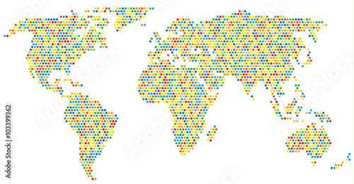
 Weltkarte aus bunten Kreisen
Weltkarte aus bunten Kreisen (#2124)
zmień rozmiar
 Planisphère street art
Planisphère street art (#14668)
zmień rozmiar
 Planisphère pop art
Planisphère pop art (#14669)
zmień rozmiar
 Art urbain; planisphère
Art urbain; planisphère (#14670)
zmień rozmiar
 Art urbain, Mappemonde
Art urbain, Mappemonde (#14671)
zmień rozmiar
 Street art, planisphère
Street art, planisphère (#14672)
zmień rozmiar
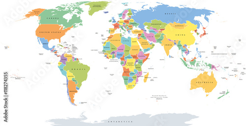
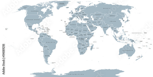
 World single states political map with national borders. Each country area with its own color. Illustration on white background under Robinson projection. English labeling.
World single states political map with national borders. Each country area with its own color. Illustration on white background under Robinson projection. English labeling. (#2129)
zmień rozmiar
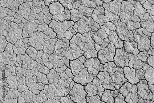
 World political map. Detailed map of the world with shorelines, national borders and country names. Robinson projection, english labeling, grey illustration on white background.
World political map. Detailed map of the world with shorelines, national borders and country names. Robinson projection, english labeling, grey illustration on white background. (#2136)
zmień rozmiar
 Planète carré fond vert
Planète carré fond vert (#10352)
zmień rozmiar
 Siccità
Siccità (#10374)
zmień rozmiar
 Mappemonde Vectorielle, avec découpage des pays
Mappemonde Vectorielle, avec découpage des pays (#2717)
zmień rozmiar
 Cracked dry earth texture background. Clay desert surface. Discolored illustration for global warming news.
Cracked dry earth texture background. Clay desert surface. Discolored illustration for global warming news. (#2982)
zmień rozmiar