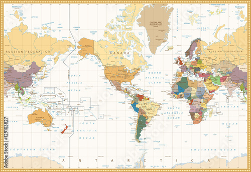
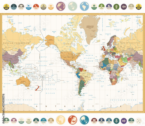
Lustra Na Wymiar Flat Colors World Map
Zapytaj o produkt
Do ulubionych Autor motywu: ©pingebat id motywu: #2118 Zobacz także motywy:
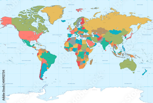
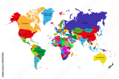
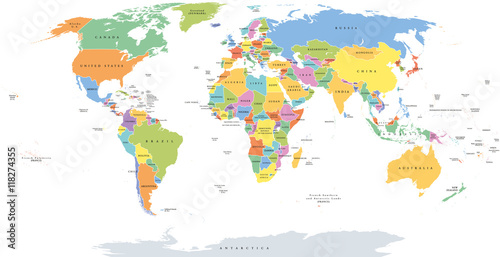
Colored political world map with names of sovereign countries and larger dependent territories. Different colors for each countries (#2115)
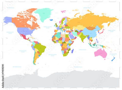
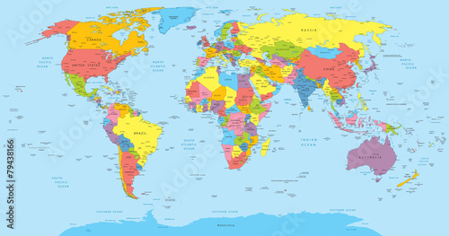
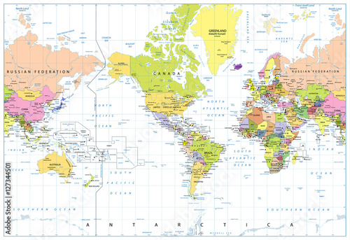
World single states political map with national borders. Each country area with its own color. Illustration on white background under Robinson projection. English labeling. (#2129)
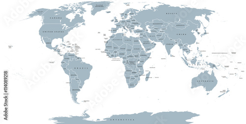
World political map. Detailed map of the world with shorelines, national borders and country names. Robinson projection, english labeling, grey illustration on white background. (#2136)