Szkło Laminowane VSG z frazą atłas
Wybierz orientacje
Pion Poziom Panorama
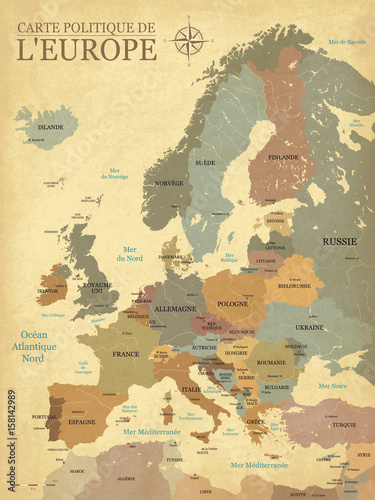
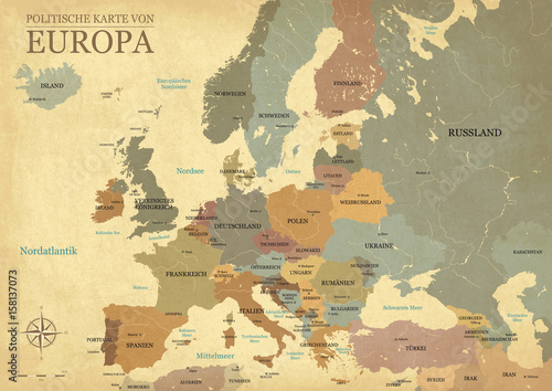
Carte Europe avec capitales - Texture vintage rétro - Textes français - Vecteur CMJN (#2103)
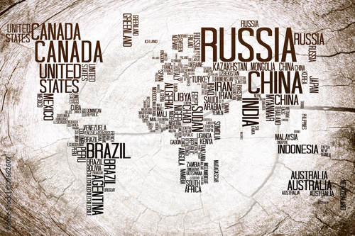
World Map Countries name on Lumber / World Map with Countries name text, World Map Letter, World Map Typography, World Map on Lumber Background (#2111)
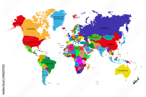
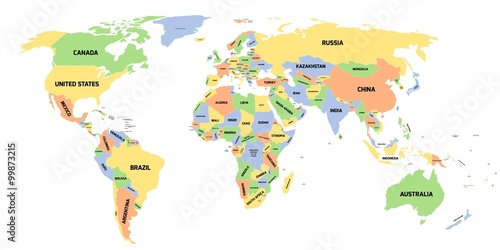
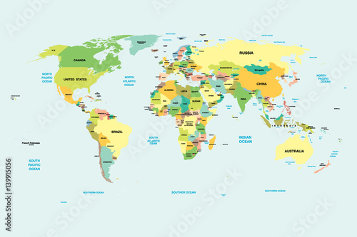
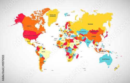
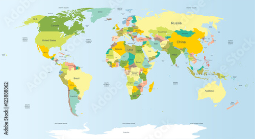
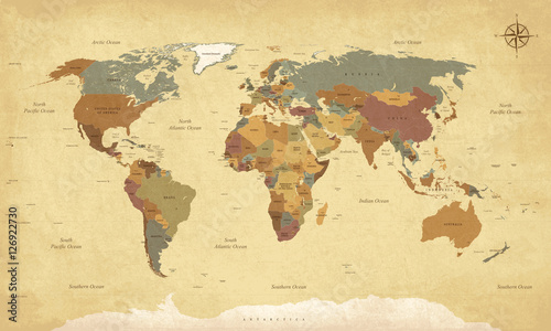
Colored political world map with names of sovereign countries and larger dependent territories. Different colors for each countries (#2115)
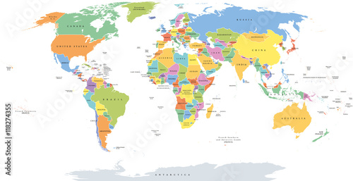
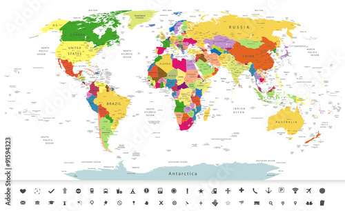
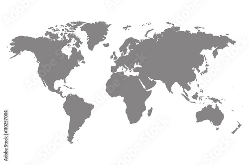
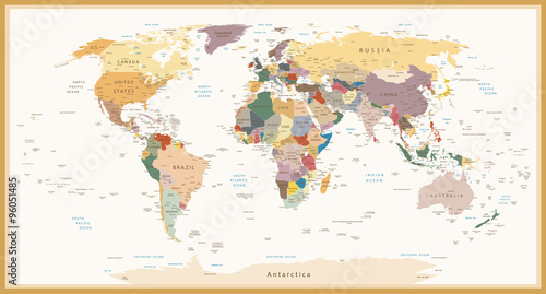
World single states political map with national borders. Each country area with its own color. Illustration on white background under Robinson projection. English labeling. (#2129)
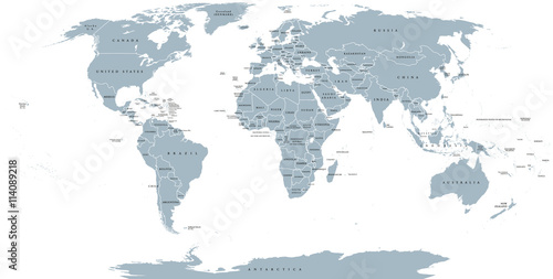
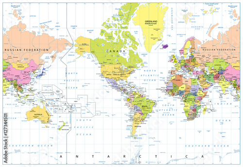
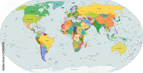
World political map. Detailed map of the world with shorelines, national borders and country names. Robinson projection, english labeling, grey illustration on white background. (#2136)