śmiało dzwoń - nawet z najmniejszym pytaniem. Zamówienia przyjmujemy również przez telefon tel. 508 967 216 codziennie od 7:00 do 22:00 - Płytki Lustrzane
Kontakt : tel. +48 508-967-216 e-mail: biuro@szklomania.pl
Blog
Inspiracje
Kontakt
Szukaj
Przechowalnia
0
Twoje zdjęcia
0
Twój koszyk
0
Menu
Szkło laminowane 33.1
Fototapety
Szkło do kuchnii
Szkło do łazienki
Podstopnie szklane
Szkło do szaf
Lacobel Kolory Standardowe
Lacobel Dowolny Kolor RAL
Lustra Na Wymiar
Szkło Laminowane VSG
Szkło laminowane 33.1
Płytki Lustrzane Srebrne
Szkło bezpieczne 44.2
Szkło bezpieczne 44.4 antywłamaniowe
Szkło do kuchnii
Abstrakcja
Akwarium
Bambusy
Dmuchawce Kwiaty
Drewno
Folk
Kawa
Kształty
Lacobel
Morze
New York Retro
Owoce warzywa
Panoramy
Patchworki
Pattery
Piasek kamenie
Szkło do łazienki
Abstrakcja
Akwarium
Archilektura
Bambusy
Dmuchawce
Drewno
Folk
Kształty
Kwiaty
Morze
Patchwork
Pattery
Plaża kamienie
Uliczki
Wodospady
Żeglarstwo
Podstopnie szklane
Lacobel Kolory Standardowe
Lacobel Dowolny Kolor RAL
Wodospady
Pattery
Kształty
Szkło do szaf
Architektura Retro
Dmuchawce
Drewno
Folk
Góry
Kamienie piasek
Kwiaty
London
Morze
New York
Paryż
Pattery
Samoloty
Sport
Uliczki
Żeglarstwo
Fototapety
Akwarium
Architektura Retro
Dmuchawce
Drewno
Folklor
Konie
London
Mapy
Morze
New York
Paryż
Pattery
Samoloty
Sport
Uliczki
Żeglarstwo
Lacobele
Lacobel Kolory Standardowe
Lacobel Dowolny Kolor Ral
Lustra Na Wymiar
Lustro Srebrne
Lustro Grafirowe
Lustro Brązowe
Szkło Laminowane VSG
Szkło laminowane 33.1
Szkło laminowane 44.1
Szkło bezpieczne 44.2
Szkło bezpieczne 44.4 antywłamaniowe
Ulubione zdjęcia
Twoje zdjęcia
|
Szkło laminowane 33.1
Szkło laminowane 33.1 z frazą
regionu
Wybierz orientacje
Pion
Poziom
Panorama
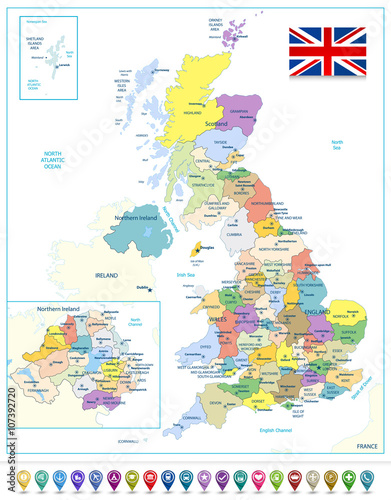
Detailed administrative map of the Great Britain with navigation
(#2088)
zmień rozmiar
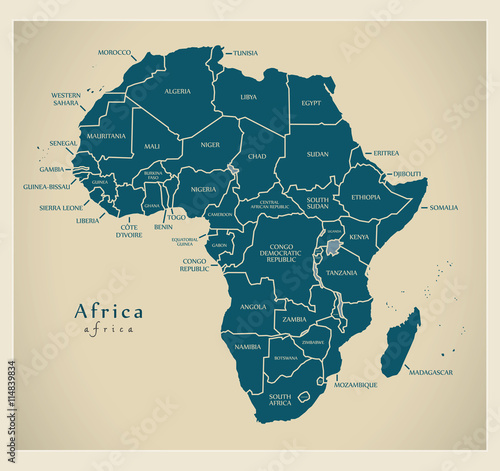
Modern Map - Africa continent with country labels
(#2121)
zmień rozmiar
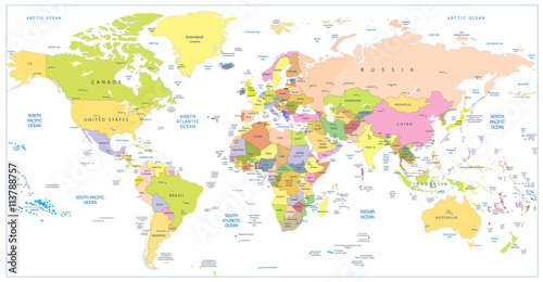
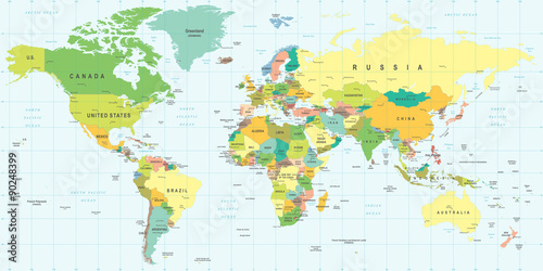
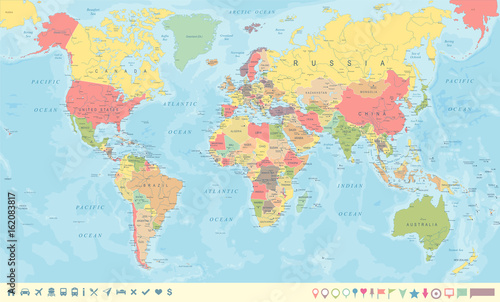
Colored political World Map and 3D globes with navigation icons
(#2087)
zmień rozmiar
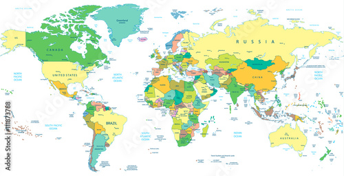
Colored political World Map isolated on white
(#2090)
zmień rozmiar
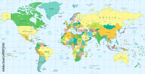
Detailed Political World map isolated on white
(#2095)
zmień rozmiar
Detailed Political World map
(#2099)
zmień rozmiar
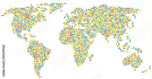
Weltkarte aus bunten Kreisen
(#2124)
zmień rozmiar
World Map - highly detailed vector illustration.
(#2131)
zmień rozmiar
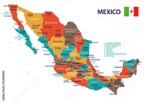
Mexico - map and flag – illustration
(#2148)
zmień rozmiar
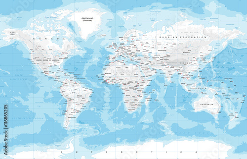
Physical World Map
(#2150)
zmień rozmiar
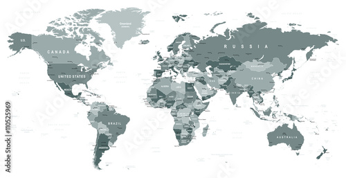
Grayscale World Map - borders, countries and cities - illustration Highly detailed gray vector illustration of world map.
(#2151)
zmień rozmiar
Vintage World Map and Markers - Vector Illustration
(#2725)
zmień rozmiar
Vintage World Map and Markers - Vector Illustration
(#2726)
zmień rozmiar
Vintage World Map and Markers - Vector Illustration
(#2727)
zmień rozmiar
Vintage World Map and Markers - Vector Illustration
(#2728)
zmień rozmiar
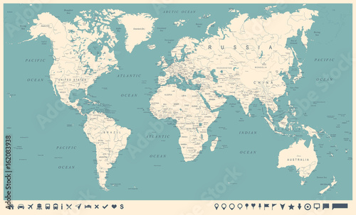
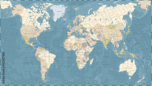
World Map old colors illustration: countries, cities, water obje
(#2729)
zmień rozmiar
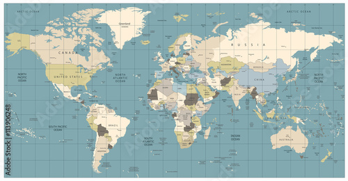
World Map retro colors illustration - America Centered World Map
(#2730)
zmień rozmiar
Vintage World Map - Vector Illustration
(#2731)
zmień rozmiar
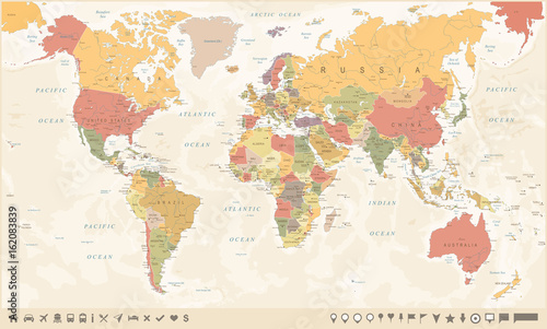
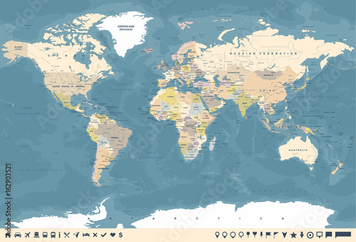
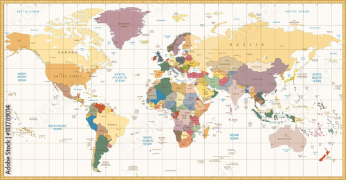
Vintage color political World Map
(#2732)
zmień rozmiar
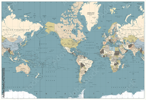
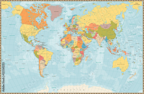
Large detailed vintage color political World Map with lakes and
(#2737)
zmień rozmiar
poprzednia
1
2
następna