Podstopnie szklane z frazą pacyfiku
Wybierz orientacje
Pion Poziom Panorama
![Overview of sailboats racing in the blue and calm ocean against sky](http://t1.ftcdn.net/jpg/01/30/00/86/400_F_130008619_udTClSrOgtdUWQN7AfcBeNCm8AlG2QRm.jpg)
![Maska Overview of sailboats racing in the blue and calm ocean against sky](/media/photos/56/schody-1_37_l.png)
412,00 zł
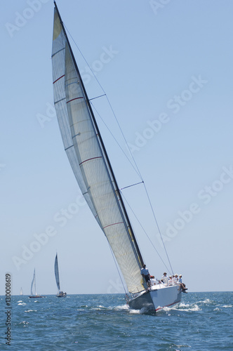
1000x945 mm Overview of sailboats racing in the blue and calm ocean against sky (#1709)
![Panoramic view of Panama City skyline with skyscrapers and Cinta Costera (Coastal Beltway) - Panama City, Panama](http://t1.ftcdn.net/jpg/01/59/22/50/400_F_159225050_zpzMv5gTJillPm8JIzK0CRZHKEbcMbgB.jpg)
![Maska Panoramic view of Panama City skyline with skyscrapers and Cinta Costera (Coastal Beltway) - Panama City, Panama](/media/photos/56/schody-1_37_l.png)
412,00 zł
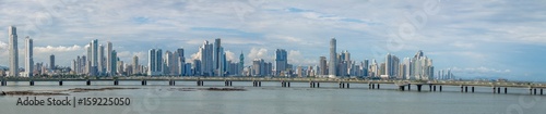
1000x945 mm Panoramic view of Panama City skyline with skyscrapers and Cinta Costera (Coastal Beltway) - Panama City, Panama (#2064)
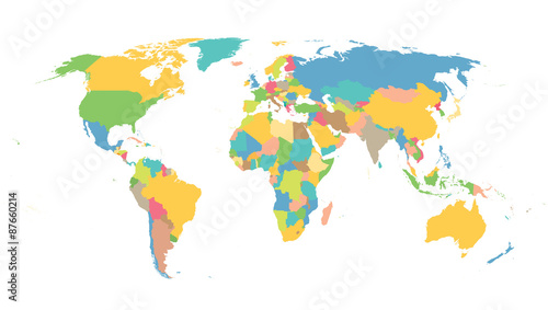
![Color world map with the names of countries. Political map. Every country is isolated.](http://t2.ftcdn.net/jpg/01/52/11/51/400_F_152115196_fUFCdV7zlrDIC40Co0jnK48j9QND6oHc.jpg)
![Maska Color world map with the names of countries. Political map. Every country is isolated.](/media/photos/56/schody-1_37_l.png)
412,00 zł
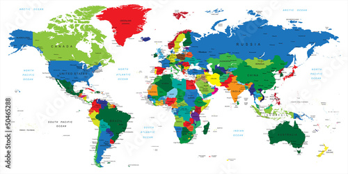
1000x945 mm Color world map with the names of countries. Political map. Every country is isolated. (#2089)
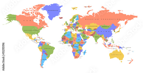
![World political map. Detailed map of the world with shorelines, national borders and country names. Robinson projection, english labeling, grey illustration on white background.](http://t1.ftcdn.net/jpg/01/14/08/92/400_F_114089218_6hOhDgDkDcwViV9GGReRRee05GaKqTdn.jpg)
![Maska World political map. Detailed map of the world with shorelines, national borders and country names. Robinson projection, english labeling, grey illustration on white background.](/media/photos/56/schody-1_37_l.png)
412,00 zł
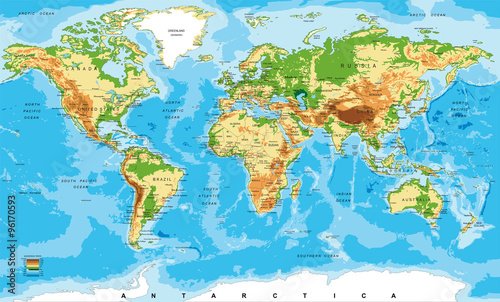
1000x945 mm World political map. Detailed map of the world with shorelines, national borders and country names. Robinson projection, english labeling, grey illustration on white background. (#2136)
![World Map old colors illustration: countries, cities, water obje](http://t1.ftcdn.net/jpg/01/13/90/62/400_F_113906248_CTzwxL4upAFKxuZLtSQlAJi2V1Slfoih.jpg)
![Maska World Map old colors illustration: countries, cities, water obje](/media/photos/56/schody-1_37_l.png)
412,00 zł
1000x945 mm World Map old colors illustration: countries, cities, water obje (#2729)
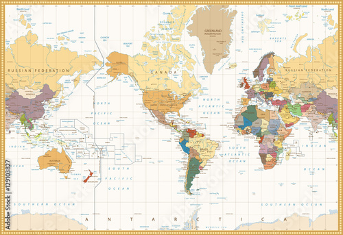
![World Map retro colors illustration - America Centered World Map](http://t2.ftcdn.net/jpg/01/27/35/35/400_F_127353512_sRhe2W12rDckDSo60vDIP9sxFcN7t8Ab.jpg)
![Maska World Map retro colors illustration - America Centered World Map](/media/photos/56/schody-1_37_l.png)
412,00 zł
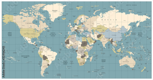
1000x945 mm World Map retro colors illustration - America Centered World Map (#2730)
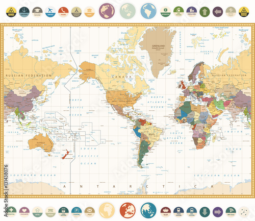
![America Centered World Map with flat icons and globes.Vintage colors](http://t1.ftcdn.net/jpg/01/31/43/80/400_F_131438076_5Ultqj5agJ6Xqbf7WeYLuhoeH3mlKZMF.jpg)
![Maska America Centered World Map with flat icons and globes.Vintage colors](/media/photos/56/schody-1_37_l.png)
412,00 zł
1000x945 mm America Centered World Map with flat icons and globes.Vintage colors (#2736)
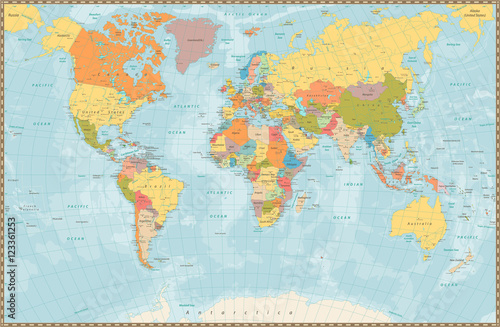
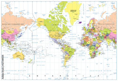
![Large detailed vintage color political World Map with lakes and](http://t1.ftcdn.net/jpg/01/23/36/12/400_F_123361253_ihJmQE1dYDLkWazWYK8jqW0iXU3NzgEX.jpg)
![Maska Large detailed vintage color political World Map with lakes and](/media/photos/56/schody-1_37_l.png)
412,00 zł
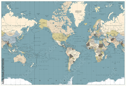
1000x945 mm Large detailed vintage color political World Map with lakes and (#2737)