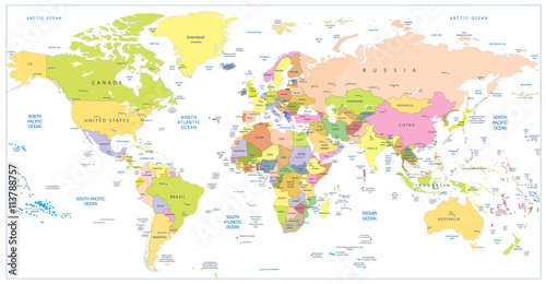
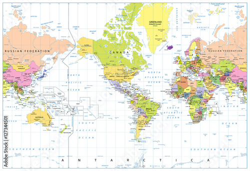
Lustra Na Wymiar World map.

Zapytaj o produkt
Do ulubionych Autor motywu: ©slv id motywu: #2092
Ustaw kadr przesuwając kursor z wciśnietym lewym klawiszem myszki
Wydruk nie będzie posiadał znaku wodnego
Wybierz parametry produktu:
Wybierz układ:
Dodatkowe opcje
x 0,00
Do koszyka


Zobacz także motywy:
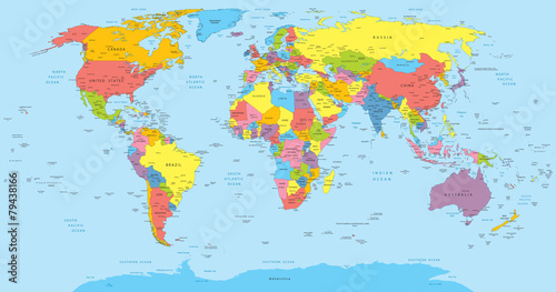
 World map with countries, country and city names
World map with countries, country and city names (#2108)
zmień rozmiar
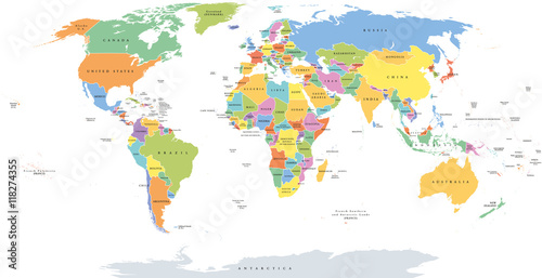
 World single states political map with national borders. Each country area with its own color. Illustration on white background under Robinson projection. English labeling.
World single states political map with national borders. Each country area with its own color. Illustration on white background under Robinson projection. English labeling. (#2129)
zmień rozmiar
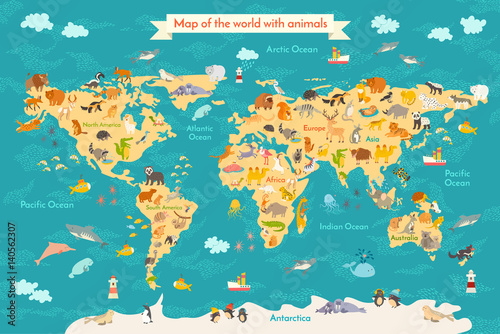
 Animal map for kid. World vector poster for children, cute illustrated. Preschool cartoon globe with animals. Oceans and continent: South America,Eurasia,North America,Africa, Australia.Baby world map
Animal map for kid. World vector poster for children, cute illustrated. Preschool cartoon globe with animals. Oceans and continent: South America,Eurasia,North America,Africa, Australia.Baby world map (#2133)
zmień rozmiar
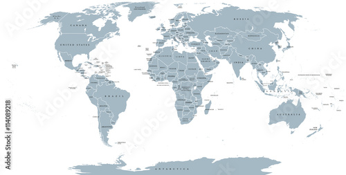
 World political map. Detailed map of the world with shorelines, national borders and country names. Robinson projection, english labeling, grey illustration on white background.
World political map. Detailed map of the world with shorelines, national borders and country names. Robinson projection, english labeling, grey illustration on white background. (#2136)
zmień rozmiar
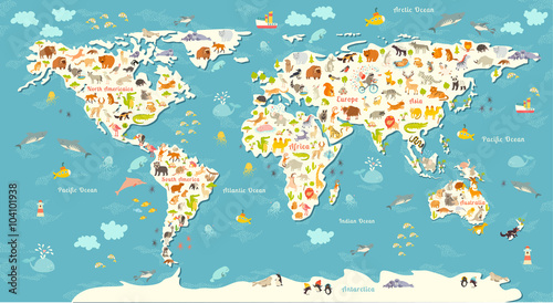
 Animals world map. Beautiful cheerful colorful vector illustration for children and kids. With the inscription of the oceans and continents. Preschool, baby, continents, oceans, drawn, Earth
Animals world map. Beautiful cheerful colorful vector illustration for children and kids. With the inscription of the oceans and continents. Preschool, baby, continents, oceans, drawn, Earth (#2141)
zmień rozmiar
 Low poly world map
Low poly world map (#2143)
zmień rozmiar
 Black silhouette isolated World map EPS10 vector file.
Black silhouette isolated World map EPS10 vector file. (#2714)
zmień rozmiar
 Blue World map isolated shape EPS10 vector file.
Blue World map isolated shape EPS10 vector file. (#2715)
zmień rozmiar
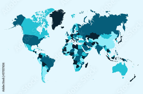
 World map, blue countries illustration EPS10 vector file.
World map, blue countries illustration EPS10 vector file. (#2716)
zmień rozmiar
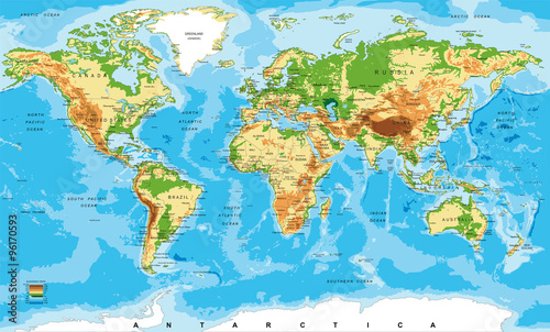
 Physical map of the world
Physical map of the world (#2719)
zmień rozmiar
 grunge world map background
grunge world map background (#8450)
zmień rozmiar
 Vector world map
Vector world map (#8459)
zmień rozmiar
 Welt grau - Serie: Pixelkarte Kontinente
Welt grau - Serie: Pixelkarte Kontinente (#8460)
zmień rozmiar
 Sunbeam in the cave, Petchburi province of Thailand
Sunbeam in the cave, Petchburi province of Thailand (#9229)
zmień rozmiar
 Ripped paper Map and flames
Ripped paper Map and flames (#8473)
zmień rozmiar
 Political map of World
Political map of World (#2085)
zmień rozmiar
 Colored political World Map and 3D globes with navigation icons
Colored political World Map and 3D globes with navigation icons (#2087)
zmień rozmiar
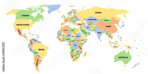
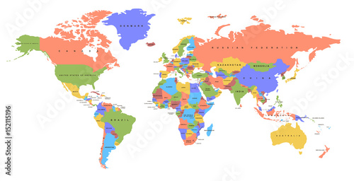
 Color world map with the names of countries. Political map. Every country is isolated.
Color world map with the names of countries. Political map. Every country is isolated. (#2089)
zmień rozmiar
 Colored political World Map isolated on white
Colored political World Map isolated on white (#2090)
zmień rozmiar
 America Centered Political World Map isolated on white
America Centered Political World Map isolated on white (#2091)
zmień rozmiar