Lustra Na Wymiar ancient cartography - old aged map of east europe
Zapytaj o produkt
Do ulubionych Autor motywu: ©alma_sacra id motywu: #3038 Zobacz także motywy:


Health and Life World Map in Typography, sport, health, fitness word cloud concept (#2112)
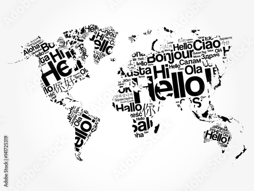
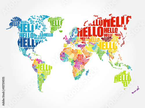
Hello in different languages word cloud World Map, business concept background (#2113)


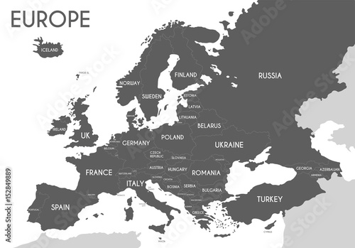
Political map of Europe in gray color with white background and the names of the countries in English. Vector illustration (#2139)