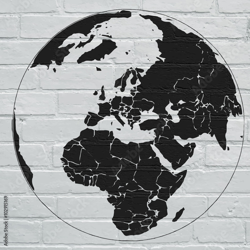
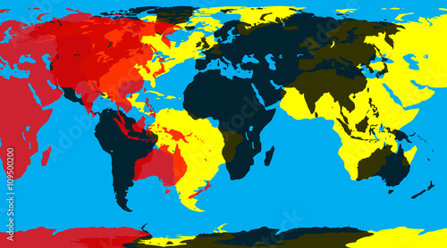
Lacobel Street art, planisphère en projection de Mercator
Zapytaj o produkt
Do ulubionych Autor motywu: ©brimeux id motywu: #14667 Zobacz także motywy:


15,00 zł
2140x998 mm Lacobel Street art, planisphère en projection de Mercator (#14667)

15,00 zł
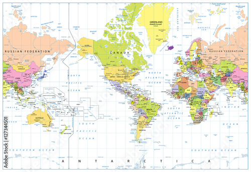
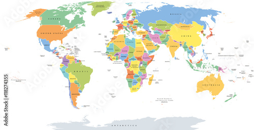
2140x998 mm Lacobel America Centered Political World Map isolated on white (#2091)


15,00 zł
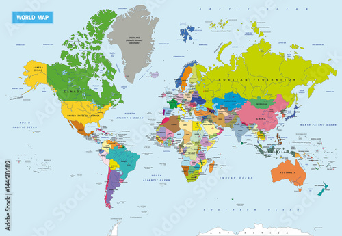
2140x998 mm Lacobel World single states political map with national borders. Each country area with its own color. Illustration on white background under Robinson projection. English labeling. (#2129)
15,00 zł
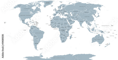
2140x998 mm Lacobel World political map. Detailed map of the world with shorelines, national borders and country names. Robinson projection, english labeling, grey illustration on white background. (#2136)


15,00 zł
2140x998 mm Lacobel Cracked dry earth texture background. Clay desert surface. Discolored illustration for global warming news. (#2982)