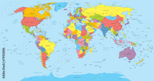
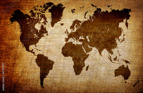
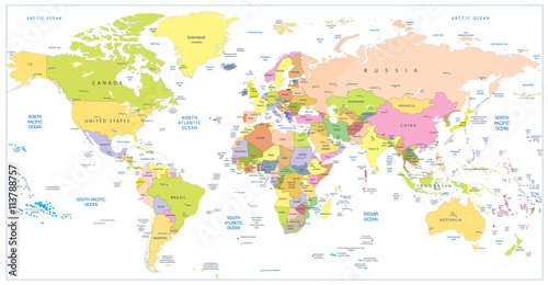
Szkło do szaf World Map old colors illustration: countries, cities, water obje
Zapytaj o produkt
Do ulubionych Autor motywu: ©pomogayev id motywu: #2729 Zobacz także motywy:
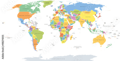
![World single states political map with national borders. Each country area with its own color. Illustration on white background under Robinson projection. English labeling.](http://t2.ftcdn.net/jpg/01/18/27/43/400_F_118274355_MkSjO1nQQTy3BLEuQDsUJsUIBh57RlSe.jpg)
![Maska World single states political map with national borders. Each country area with its own color. Illustration on white background under Robinson projection. English labeling.](/media/photos/27/szafa-2_39_l.png)
3 439,00 zł
3397x2400 mm World single states political map with national borders. Each country area with its own color. Illustration on white background under Robinson projection. English labeling. (#2129)
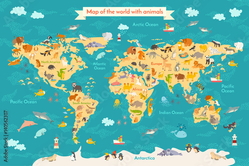
![Animal map for kid. World vector poster for children, cute illustrated. Preschool cartoon globe with animals. Oceans and continent: South America,Eurasia,North America,Africa, Australia.Baby world map](http://t2.ftcdn.net/jpg/01/40/56/23/400_F_140562307_eTuUcP4tL0tJnfRCHE9J1GT3nHv8bvp5.jpg)
![Maska Animal map for kid. World vector poster for children, cute illustrated. Preschool cartoon globe with animals. Oceans and continent: South America,Eurasia,North America,Africa, Australia.Baby world map](/media/photos/27/szafa-2_39_l.png)
3 439,00 zł
3397x2400 mm Animal map for kid. World vector poster for children, cute illustrated. Preschool cartoon globe with animals. Oceans and continent: South America,Eurasia,North America,Africa, Australia.Baby world map (#2133)
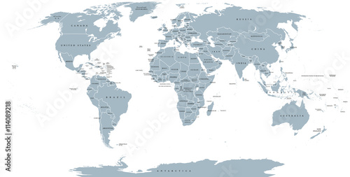
![World political map. Detailed map of the world with shorelines, national borders and country names. Robinson projection, english labeling, grey illustration on white background.](http://t1.ftcdn.net/jpg/01/14/08/92/400_F_114089218_6hOhDgDkDcwViV9GGReRRee05GaKqTdn.jpg)
![Maska World political map. Detailed map of the world with shorelines, national borders and country names. Robinson projection, english labeling, grey illustration on white background.](/media/photos/27/szafa-2_39_l.png)
3 439,00 zł
3397x2400 mm World political map. Detailed map of the world with shorelines, national borders and country names. Robinson projection, english labeling, grey illustration on white background. (#2136)
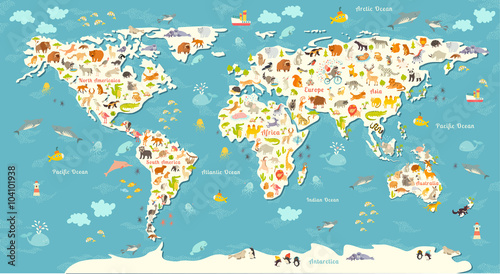
![Animals world map. Beautiful cheerful colorful vector illustration for children and kids. With the inscription of the oceans and continents. Preschool, baby, continents, oceans, drawn, Earth](http://t2.ftcdn.net/jpg/01/04/10/19/400_F_104101938_5e1GeSPdch5uP2mdYg0FMMlKPNJPYJVT.jpg)
![Maska Animals world map. Beautiful cheerful colorful vector illustration for children and kids. With the inscription of the oceans and continents. Preschool, baby, continents, oceans, drawn, Earth](/media/photos/27/szafa-2_39_l.png)
3 439,00 zł
3397x2400 mm Animals world map. Beautiful cheerful colorful vector illustration for children and kids. With the inscription of the oceans and continents. Preschool, baby, continents, oceans, drawn, Earth (#2141)
![Black silhouette isolated World map EPS10 vector file.](http://t1.ftcdn.net/jpg/00/57/03/76/400_F_57037670_vRI13PYmKHFeDC96aQT3XjGo71fR4rPp.jpg)
![Maska Black silhouette isolated World map EPS10 vector file.](/media/photos/27/szafa-2_39_l.png)
3 439,00 zł
3397x2400 mm Black silhouette isolated World map EPS10 vector file. (#2714)
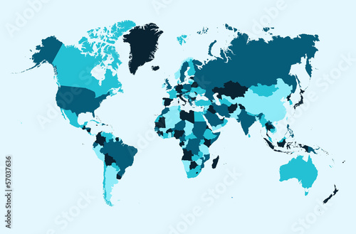
![World map, blue countries illustration EPS10 vector file.](http://t1.ftcdn.net/jpg/00/57/03/76/400_F_57037636_1BERavLTg66XYQV9pmLRYFY69grWH1P9.jpg)
![Maska World map, blue countries illustration EPS10 vector file.](/media/photos/27/szafa-2_39_l.png)
3 439,00 zł
3397x2400 mm World map, blue countries illustration EPS10 vector file. (#2716)
![Colored political World Map and 3D globes with navigation icons](http://t2.ftcdn.net/jpg/01/13/78/87/400_F_113788741_5Up0skMzEKpRKFZ9KIk0tVPhQ8KFjy4f.jpg)
![Maska Colored political World Map and 3D globes with navigation icons](/media/photos/27/szafa-2_39_l.png)
3 439,00 zł
3397x2400 mm Colored political World Map and 3D globes with navigation icons (#2087)
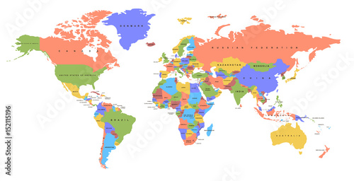
![Color world map with the names of countries. Political map. Every country is isolated.](http://t2.ftcdn.net/jpg/01/52/11/51/400_F_152115196_fUFCdV7zlrDIC40Co0jnK48j9QND6oHc.jpg)
![Maska Color world map with the names of countries. Political map. Every country is isolated.](/media/photos/27/szafa-2_39_l.png)
3 439,00 zł
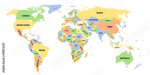
3397x2400 mm Color world map with the names of countries. Political map. Every country is isolated. (#2089)
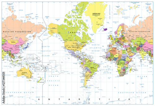
![America Centered Political World Map isolated on white](http://t2.ftcdn.net/jpg/01/27/34/45/400_F_127344501_D77qZyXhdcA4kcZJLrvGXYDbxRIEKMqN.jpg)
![Maska America Centered Political World Map isolated on white](/media/photos/27/szafa-2_39_l.png)
3 439,00 zł
3397x2400 mm America Centered Political World Map isolated on white (#2091)