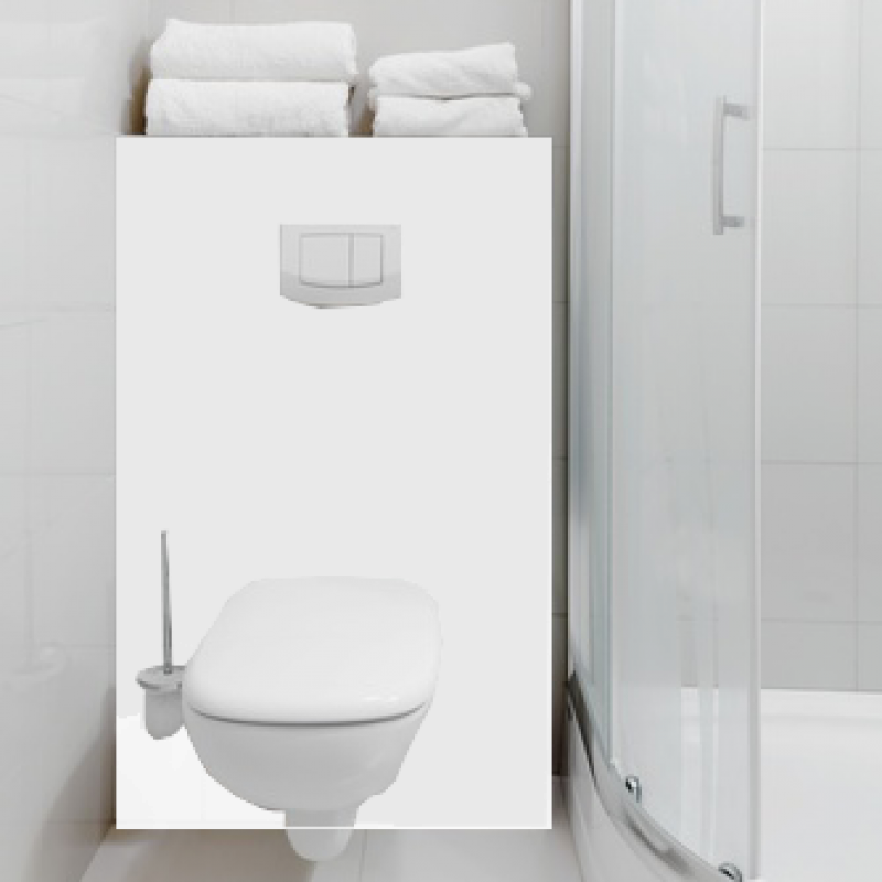
Szkło do łazienki Flat Colors World Map
Zapytaj o produkt
Do ulubionych Autor motywu: ©pingebat id motywu: #2118 Zobacz także motywy:

443,00 zł
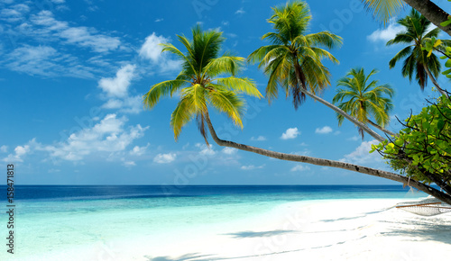
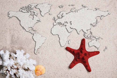
1020x998 mm Map of the world. Traveling concept. Starfish with coral on the Beach sand (#1774)
443,00 zł
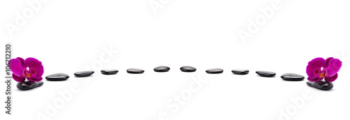
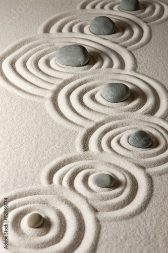
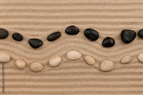
1020x998 mm Two rows of stones lying on the sand, with space for text. (#1771)