Szkło do kuchnii Colored political World Map isolated on white
Zapytaj o produkt
Do ulubionych Autor motywu: ©pomogayev id motywu: #2090 Zobacz także motywy:


686,00 zł
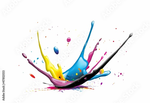
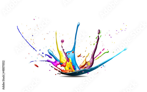
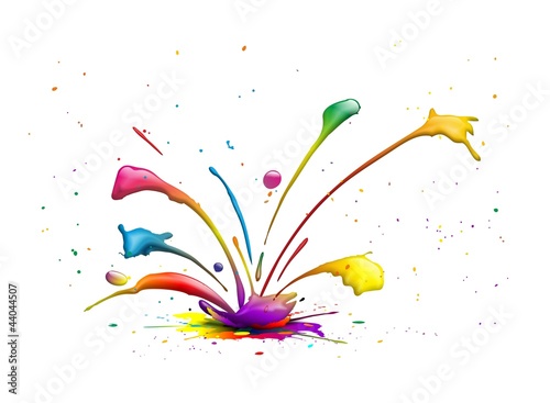
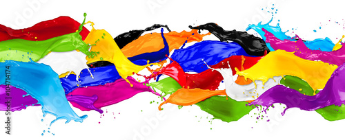
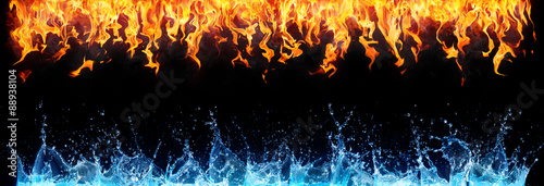
1850x864 mm colorful wild color splash isolated on white background (#14974)
686,00 zł
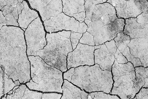
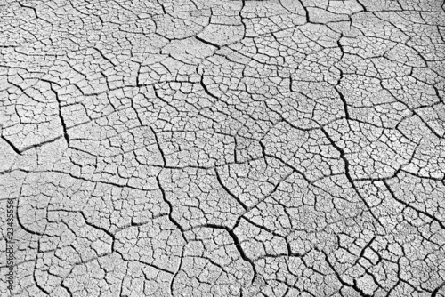
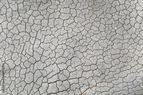
1850x864 mm Dried and Cracked ground,Cracked surface,Dry soil in arid areas. (#2984)