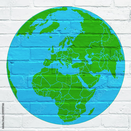
Podstopnie szklane z frazą antarktyda
Wybierz orientacje
Pion Poziom Panorama
![Colored political world map with names of sovereign countries and larger dependent territories. Different colors for each countries](http://t2.ftcdn.net/jpg/01/06/30/79/400_F_106307922_9NPkUTUfhfXftyBzUJLW1yMDBvwANVJM.jpg)
![Maska Colored political world map with names of sovereign countries and larger dependent territories. Different colors for each countries](/media/photos/56/schody-1_37_l.png)
412,00 zł
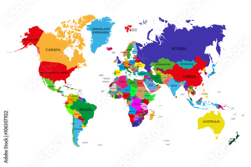
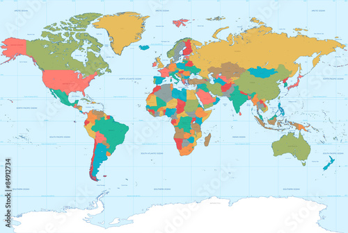
1000x945 mm Colored political world map with names of sovereign countries and larger dependent territories. Different colors for each countries (#2115)
![Hi Detail colored Vector Political World Map illustration](http://t2.ftcdn.net/jpg/00/74/59/21/400_F_74592141_1YdmScPy9Ny4Jot2ghQJxwKD1485QiZI.jpg)
![Maska Hi Detail colored Vector Political World Map illustration](/media/photos/56/schody-1_37_l.png)
412,00 zł
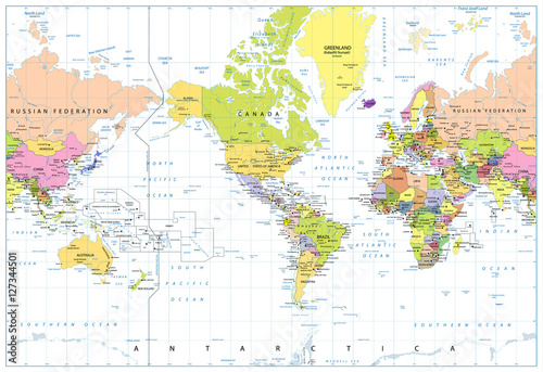
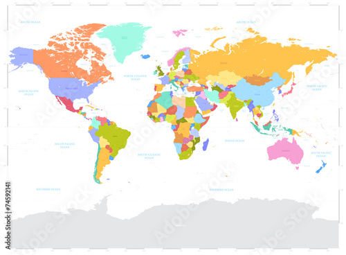
1000x945 mm Hi Detail colored Vector Political World Map illustration (#2125)
![World single states political map with national borders. Each country area with its own color. Illustration on white background under Robinson projection. English labeling.](http://t2.ftcdn.net/jpg/01/18/27/43/400_F_118274355_MkSjO1nQQTy3BLEuQDsUJsUIBh57RlSe.jpg)
![Maska World single states political map with national borders. Each country area with its own color. Illustration on white background under Robinson projection. English labeling.](/media/photos/56/schody-1_37_l.png)
412,00 zł
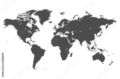
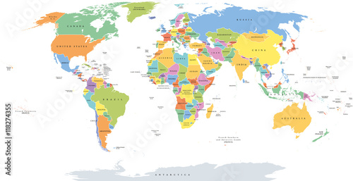
1000x945 mm World single states political map with national borders. Each country area with its own color. Illustration on white background under Robinson projection. English labeling. (#2129)
![World political map. Detailed map of the world with shorelines, national borders and country names. Robinson projection, english labeling, grey illustration on white background.](http://t1.ftcdn.net/jpg/01/14/08/92/400_F_114089218_6hOhDgDkDcwViV9GGReRRee05GaKqTdn.jpg)
![Maska World political map. Detailed map of the world with shorelines, national borders and country names. Robinson projection, english labeling, grey illustration on white background.](/media/photos/56/schody-1_37_l.png)
412,00 zł
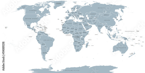
1000x945 mm World political map. Detailed map of the world with shorelines, national borders and country names. Robinson projection, english labeling, grey illustration on white background. (#2136)
![America Centered World Map with flat icons and globes.Vintage colors](http://t1.ftcdn.net/jpg/01/31/43/80/400_F_131438076_5Ultqj5agJ6Xqbf7WeYLuhoeH3mlKZMF.jpg)
![Maska America Centered World Map with flat icons and globes.Vintage colors](/media/photos/56/schody-1_37_l.png)
412,00 zł
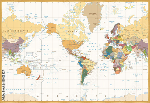
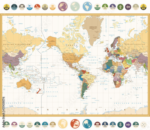
1000x945 mm America Centered World Map with flat icons and globes.Vintage colors (#2736)