Podstopnie szklane z frazą plan
Wybierz orientacje
Pion Poziom Panorama
![World single states political map with national borders. Each country area with its own color. Illustration on white background under Robinson projection. English labeling.](http://t2.ftcdn.net/jpg/01/18/27/43/400_F_118274355_MkSjO1nQQTy3BLEuQDsUJsUIBh57RlSe.jpg)
![Maska World single states political map with national borders. Each country area with its own color. Illustration on white background under Robinson projection. English labeling.](/media/photos/56/schody-1_37_l.png)
412,00 zł
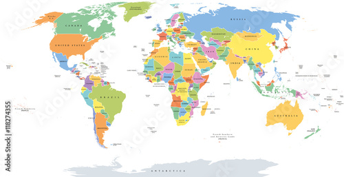
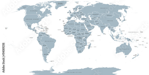
1000x945 mm World single states political map with national borders. Each country area with its own color. Illustration on white background under Robinson projection. English labeling. (#2129)
![Textured vintage world map - English/US Labels - Vector CMYK](http://t2.ftcdn.net/jpg/01/26/92/27/400_F_126922730_yzwmyw1uPeEPslgHftjdv3deuFAjWOBL.jpg)
![Maska Textured vintage world map - English/US Labels - Vector CMYK](/media/photos/56/schody-1_37_l.png)
412,00 zł
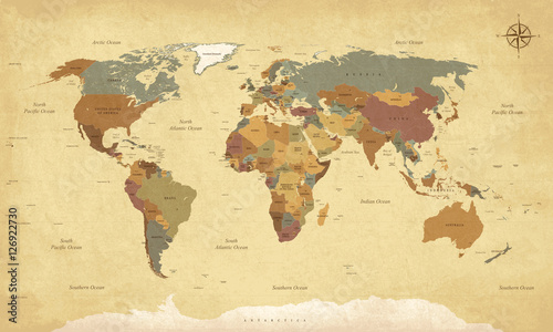
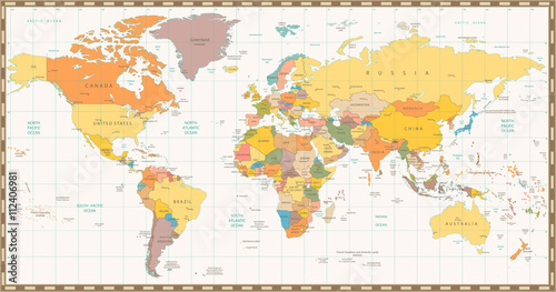
1000x945 mm Textured vintage world map - English/US Labels - Vector CMYK (#2130)
![Animal map for kid. World vector poster for children, cute illustrated. Preschool cartoon globe with animals. Oceans and continent: South America,Eurasia,North America,Africa, Australia.Baby world map](http://t2.ftcdn.net/jpg/01/40/56/23/400_F_140562307_eTuUcP4tL0tJnfRCHE9J1GT3nHv8bvp5.jpg)
![Maska Animal map for kid. World vector poster for children, cute illustrated. Preschool cartoon globe with animals. Oceans and continent: South America,Eurasia,North America,Africa, Australia.Baby world map](/media/photos/56/schody-1_37_l.png)
412,00 zł
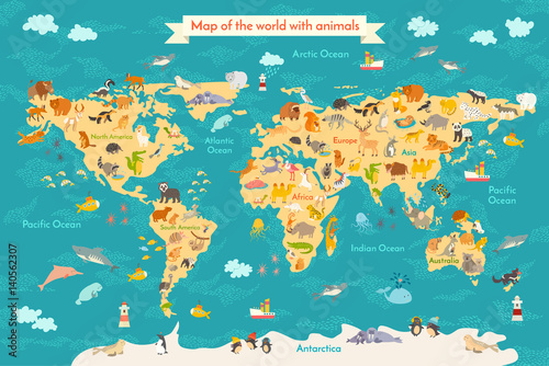
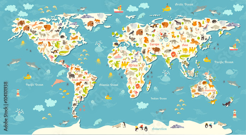
1000x945 mm Animal map for kid. World vector poster for children, cute illustrated. Preschool cartoon globe with animals. Oceans and continent: South America,Eurasia,North America,Africa, Australia.Baby world map (#2133)
![World political map. Detailed map of the world with shorelines, national borders and country names. Robinson projection, english labeling, grey illustration on white background.](http://t1.ftcdn.net/jpg/01/14/08/92/400_F_114089218_6hOhDgDkDcwViV9GGReRRee05GaKqTdn.jpg)
![Maska World political map. Detailed map of the world with shorelines, national borders and country names. Robinson projection, english labeling, grey illustration on white background.](/media/photos/56/schody-1_37_l.png)
412,00 zł
1000x945 mm World political map. Detailed map of the world with shorelines, national borders and country names. Robinson projection, english labeling, grey illustration on white background. (#2136)
![Planisphère Mappemonde Vintage - Textes en français. Vecteur CMJN](http://t2.ftcdn.net/jpg/01/26/92/35/400_F_126923573_vuICujKVykjjustJkDYq8H4UDf69kxBW.jpg)
![Maska Planisphère Mappemonde Vintage - Textes en français. Vecteur CMJN](/media/photos/56/schody-1_37_l.png)
412,00 zł
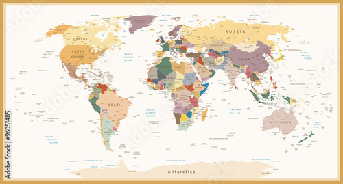
1000x945 mm Planisphère Mappemonde Vintage - Textes en français. Vecteur CMJN (#2137)
![Animals world map. Beautiful cheerful colorful vector illustration for children and kids. With the inscription of the oceans and continents. Preschool, baby, continents, oceans, drawn, Earth](http://t2.ftcdn.net/jpg/01/04/10/19/400_F_104101938_5e1GeSPdch5uP2mdYg0FMMlKPNJPYJVT.jpg)
![Maska Animals world map. Beautiful cheerful colorful vector illustration for children and kids. With the inscription of the oceans and continents. Preschool, baby, continents, oceans, drawn, Earth](/media/photos/56/schody-1_37_l.png)
412,00 zł
1000x945 mm Animals world map. Beautiful cheerful colorful vector illustration for children and kids. With the inscription of the oceans and continents. Preschool, baby, continents, oceans, drawn, Earth (#2141)