Szkło Laminowane VSG z frazą kontynent

Wybierz orientacje
Pion Poziom Panorama
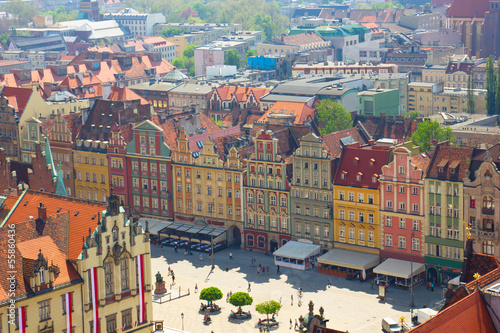
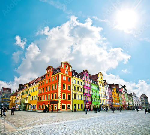
 Wroclaw City center, Market Square tenements
Wroclaw City center, Market Square tenements (#5449)
zmień rozmiar
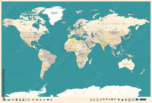
 Vintage World Map and Markers - illustration
Vintage World Map and Markers - illustration (#14665)
zmień rozmiar
 HELLO Word Cloud World Map in Typography, background concept
HELLO Word Cloud World Map in Typography, background concept (#2123)
zmień rozmiar
 Street art, planisphère en projection de Mercator
Street art, planisphère en projection de Mercator (#14667)
zmień rozmiar
 Weltkarte aus bunten Kreisen
Weltkarte aus bunten Kreisen (#2124)
zmień rozmiar
 Wroclaw, Poland
Wroclaw, Poland (#5453)
zmień rozmiar
 Global interaction
Global interaction (#8526)
zmień rozmiar
 World map in typography
World map in typography (#2127)
zmień rozmiar
 world map
world map (#9808)
zmień rozmiar
 Street art, planisphère
Street art, planisphère (#14672)
zmień rozmiar
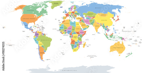
 World single states political map with national borders. Each country area with its own color. Illustration on white background under Robinson projection. English labeling.
World single states political map with national borders. Each country area with its own color. Illustration on white background under Robinson projection. English labeling. (#2129)
zmień rozmiar
 World Map - highly detailed vector illustration.
World Map - highly detailed vector illustration. (#2131)
zmień rozmiar
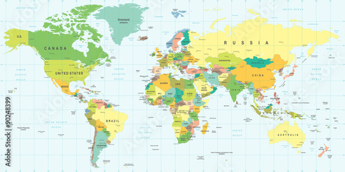
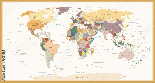
 Highly Detailed Political World Map Vintage Colors
Highly Detailed Political World Map Vintage Colors (#2132)
zmień rozmiar
 World map in typography
World map in typography (#2134)
zmień rozmiar
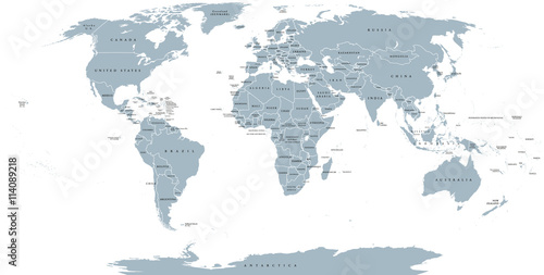
 World political map. Detailed map of the world with shorelines, national borders and country names. Robinson projection, english labeling, grey illustration on white background.
World political map. Detailed map of the world with shorelines, national borders and country names. Robinson projection, english labeling, grey illustration on white background. (#2136)
zmień rozmiar
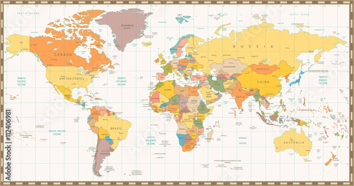
 Old retro color political World map
Old retro color political World map (#2138)
zmień rozmiar
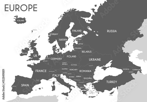
 Political map of Europe in gray color with white background and the names of the countries in English. Vector illustration
Political map of Europe in gray color with white background and the names of the countries in English. Vector illustration (#2139)
zmień rozmiar
 world map made ​​up of small colorful dots
world map made ​​up of small colorful dots (#2140)
zmień rozmiar
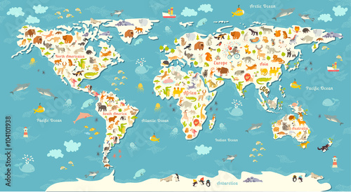
 Animals world map. Beautiful cheerful colorful vector illustration for children and kids. With the inscription of the oceans and continents. Preschool, baby, continents, oceans, drawn, Earth
Animals world map. Beautiful cheerful colorful vector illustration for children and kids. With the inscription of the oceans and continents. Preschool, baby, continents, oceans, drawn, Earth (#2141)
zmień rozmiar
 World map in watercolor
World map in watercolor (#2142)
zmień rozmiar