Podstopnie szklane z frazą mapa
Wybierz orientacje
Pion Poziom Panorama
![World political map. Detailed map of the world with shorelines, national borders and country names. Robinson projection, english labeling, grey illustration on white background.](http://t1.ftcdn.net/jpg/01/14/08/92/400_F_114089218_6hOhDgDkDcwViV9GGReRRee05GaKqTdn.jpg)
![Maska World political map. Detailed map of the world with shorelines, national borders and country names. Robinson projection, english labeling, grey illustration on white background.](/media/photos/56/schody-1_37_l.png)
412,00 zł
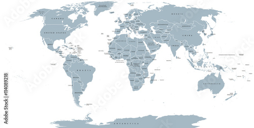
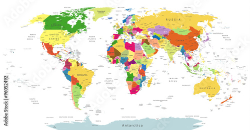
1000x945 mm World political map. Detailed map of the world with shorelines, national borders and country names. Robinson projection, english labeling, grey illustration on white background. (#2136)
![Political map of Europe in gray color with white background and the names of the countries in English. Vector illustration](http://t1.ftcdn.net/jpg/01/52/84/98/400_F_152849889_mLTtdOy4I4VbFoKNdLucHjl3z95XgeFI.jpg)
![Maska Political map of Europe in gray color with white background and the names of the countries in English. Vector illustration](/media/photos/56/schody-1_37_l.png)
412,00 zł
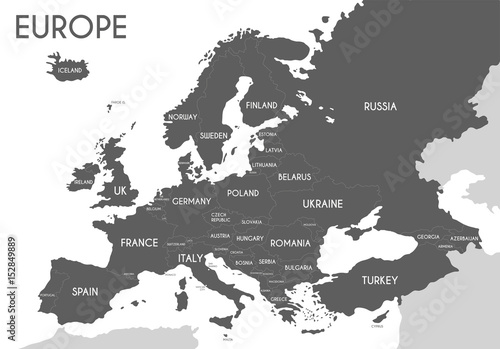
1000x945 mm Political map of Europe in gray color with white background and the names of the countries in English. Vector illustration (#2139)
![Animals world map. Beautiful cheerful colorful vector illustration for children and kids. With the inscription of the oceans and continents. Preschool, baby, continents, oceans, drawn, Earth](http://t2.ftcdn.net/jpg/01/04/10/19/400_F_104101938_5e1GeSPdch5uP2mdYg0FMMlKPNJPYJVT.jpg)
![Maska Animals world map. Beautiful cheerful colorful vector illustration for children and kids. With the inscription of the oceans and continents. Preschool, baby, continents, oceans, drawn, Earth](/media/photos/56/schody-1_37_l.png)
412,00 zł
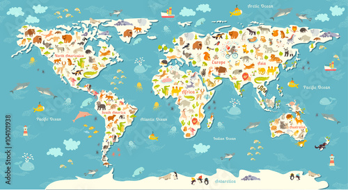
1000x945 mm Animals world map. Beautiful cheerful colorful vector illustration for children and kids. With the inscription of the oceans and continents. Preschool, baby, continents, oceans, drawn, Earth (#2141)
![World Map with Countries name text, World Map Letter, World Map Typography](http://t2.ftcdn.net/jpg/01/15/76/59/400_F_115765957_g0YrAPyCt2FnSojojM8Zy3y4RJH7XJm4.jpg)
![Maska World Map with Countries name text, World Map Letter, World Map Typography](/media/photos/56/schody-1_37_l.png)
412,00 zł
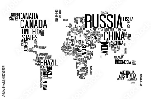
1000x945 mm World Map with Countries name text, World Map Letter, World Map Typography (#2146)
![World map abstract internet connection, light urban communications](http://t2.ftcdn.net/jpg/01/38/86/63/400_F_138866351_YX4z5MwGDcDf6mjoWxSZnXU5TBwF19nP.jpg)
![Maska World map abstract internet connection, light urban communications](/media/photos/56/schody-1_37_l.png)
412,00 zł
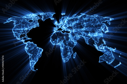
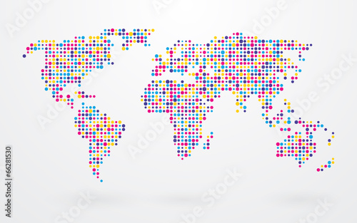
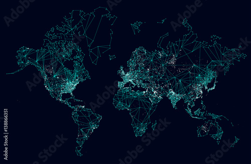
1000x945 mm World map abstract internet connection, light urban communications (#2147)
![Grayscale World Map - borders, countries and cities - illustration
Highly detailed gray vector illustration of world map.](http://t2.ftcdn.net/jpg/01/10/52/59/400_F_110525969_U48moYAXvYDgmpjnJDFpq3OtmRsoDeBX.jpg)
![Maska Grayscale World Map - borders, countries and cities - illustration
Highly detailed gray vector illustration of world map.](/media/photos/56/schody-1_37_l.png)
412,00 zł
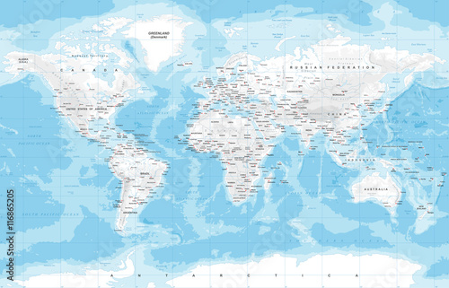
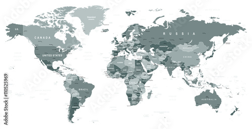
1000x945 mm Grayscale World Map - borders, countries and cities - illustration
Highly detailed gray vector illustration of world map. (#2151)
![time for adventures - vintage compass and rope on old world map](http://t1.ftcdn.net/jpg/01/35/92/36/400_F_135923698_zbQ7ESPFI7DvUnfjwJaFnR48YyMvP5UF.jpg)
![Maska time for adventures - vintage compass and rope on old world map](/media/photos/56/schody-1_37_l.png)
412,00 zł
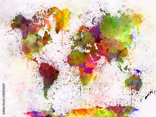
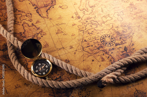
1000x945 mm time for adventures - vintage compass and rope on old world map (#2154)