Lacobel Kolory Standardowe z frazą państwo
Wybierz orientacje
Pion Poziom Panorama
![Lacobel World single states political map with national borders. Each country area with its own color. Illustration on white background under Robinson projection. English labeling.](http://t2.ftcdn.net/jpg/01/18/27/43/400_F_118274355_MkSjO1nQQTy3BLEuQDsUJsUIBh57RlSe.jpg)
![Maska Lacobel World single states political map with national borders. Each country area with its own color. Illustration on white background under Robinson projection. English labeling.](/media/photos/2c/kuchnia-2_33_l.png)
15,00 zł
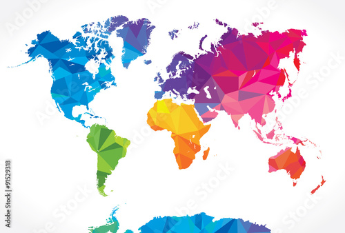
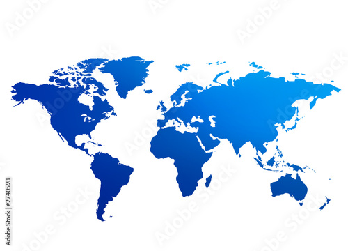
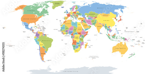
2140x998 mm Lacobel World single states political map with national borders. Each country area with its own color. Illustration on white background under Robinson projection. English labeling. (#2129)
![Lacobel Political map of Europe in gray color with white background and the names of the countries in English. Vector illustration](http://t1.ftcdn.net/jpg/01/52/84/98/400_F_152849889_mLTtdOy4I4VbFoKNdLucHjl3z95XgeFI.jpg)
![Maska Lacobel Political map of Europe in gray color with white background and the names of the countries in English. Vector illustration](/media/photos/2c/kuchnia-2_33_l.png)
15,00 zł
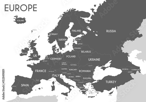
2140x998 mm Lacobel Political map of Europe in gray color with white background and the names of the countries in English. Vector illustration (#2139)