Lacobel Kolory Standardowe z frazą niemiecki
Wybierz orientacje
Pion Poziom Panorama
![Lacobel Hello in different languages word cloud World Map, business concept background](http://t2.ftcdn.net/jpg/01/41/72/53/400_F_141725319_8fuAhxSbCNAeDOHy73CrYhtg7cuaIsQH.jpg)
![Maska Lacobel Hello in different languages word cloud World Map, business concept background](/media/photos/2c/kuchnia-2_33_l.png)
15,00 zł
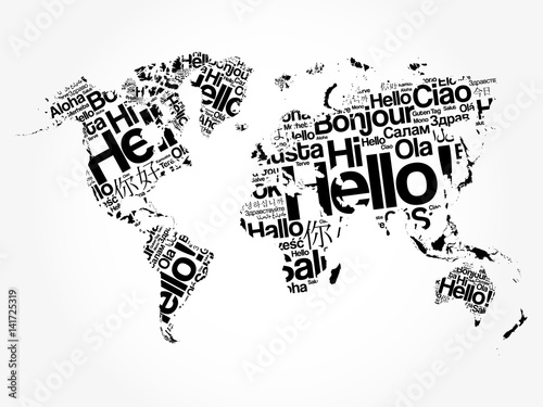
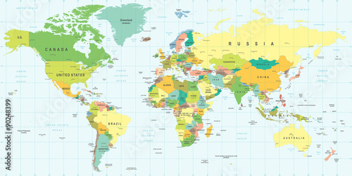
2140x998 mm Lacobel Hello in different languages word cloud World Map, business concept background (#2113)
![Lacobel Political map of Europe in gray color with white background and the names of the countries in English. Vector illustration](http://t1.ftcdn.net/jpg/01/52/84/98/400_F_152849889_mLTtdOy4I4VbFoKNdLucHjl3z95XgeFI.jpg)
![Maska Lacobel Political map of Europe in gray color with white background and the names of the countries in English. Vector illustration](/media/photos/2c/kuchnia-2_33_l.png)
15,00 zł
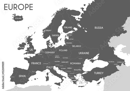
2140x998 mm Lacobel Political map of Europe in gray color with white background and the names of the countries in English. Vector illustration (#2139)
![Lacobel Grayscale World Map - borders, countries and cities - illustration
Highly detailed gray vector illustration of world map.](http://t2.ftcdn.net/jpg/01/10/52/59/400_F_110525969_U48moYAXvYDgmpjnJDFpq3OtmRsoDeBX.jpg)
![Maska Lacobel Grayscale World Map - borders, countries and cities - illustration
Highly detailed gray vector illustration of world map.](/media/photos/2c/kuchnia-2_33_l.png)
15,00 zł
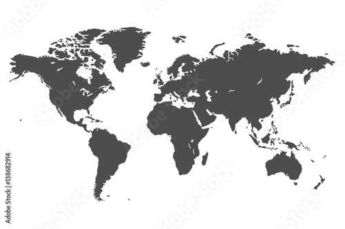
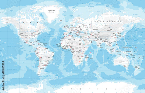
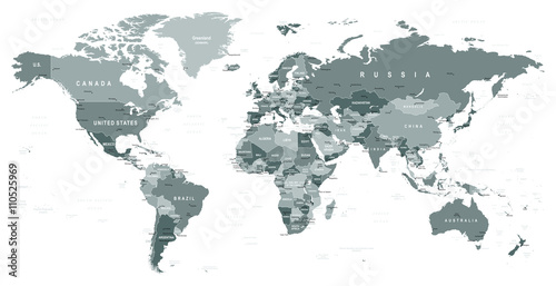
2140x998 mm Lacobel Grayscale World Map - borders, countries and cities - illustration
Highly detailed gray vector illustration of world map. (#2151)
![Lacobel Map of Europe colored with the flags of each country](http://t1.ftcdn.net/jpg/01/15/72/16/400_F_115721616_K5rcLiCNotQfOvADieVwX8nquKA3jhLt.jpg)
![Maska Lacobel Map of Europe colored with the flags of each country](/media/photos/2c/kuchnia-2_33_l.png)
15,00 zł
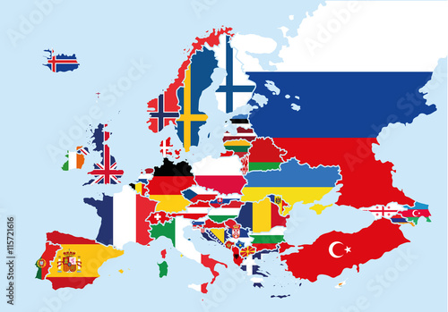
2140x998 mm Lacobel Map of Europe colored with the flags of each country (#2158)
![Lacobel Vintage World Map and Markers - Vector Illustration](http://t2.ftcdn.net/jpg/01/62/08/39/400_F_162083938_s2TUxzcNOALdNTqJHpuoZXwXSfmfhYOP.jpg)
![Maska Lacobel Vintage World Map and Markers - Vector Illustration](/media/photos/2c/kuchnia-2_33_l.png)
15,00 zł
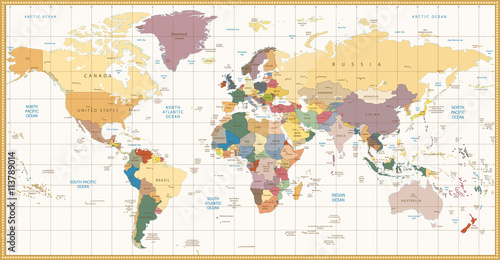
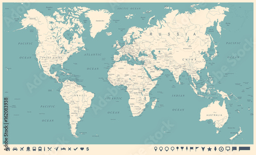
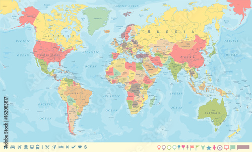
2140x998 mm Lacobel Vintage World Map and Markers - Vector Illustration (#2725)
![Lacobel Vintage World Map and Markers - Vector Illustration](http://t1.ftcdn.net/jpg/01/62/08/38/400_F_162083839_S9dGHGbZxRRtY3TjeEukSqkw2RycLlGe.jpg)
![Maska Lacobel Vintage World Map and Markers - Vector Illustration](/media/photos/2c/kuchnia-2_33_l.png)
15,00 zł
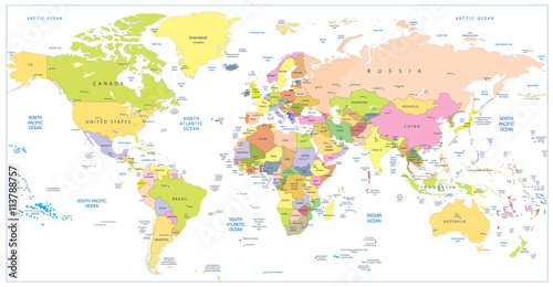
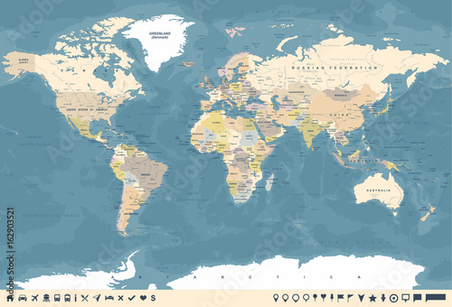
2140x998 mm Lacobel Vintage World Map and Markers - Vector Illustration (#2726)
![Lacobel Vintage World Map and Markers - Vector Illustration](http://t1.ftcdn.net/jpg/01/62/08/38/400_F_162083817_OqXH0r7XffFTmbhkD13Sr0n3AATOGisV.jpg)
![Maska Lacobel Vintage World Map and Markers - Vector Illustration](/media/photos/2c/kuchnia-2_33_l.png)
15,00 zł
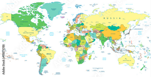
2140x998 mm Lacobel Vintage World Map and Markers - Vector Illustration (#2727)
![Lacobel Vintage World Map and Markers - Vector Illustration](http://t2.ftcdn.net/jpg/01/62/90/35/400_F_162903521_LQmMwu63K3RNHVVcK2HqItXEz1LySZAd.jpg)
![Maska Lacobel Vintage World Map and Markers - Vector Illustration](/media/photos/2c/kuchnia-2_33_l.png)
15,00 zł
2140x998 mm Lacobel Vintage World Map and Markers - Vector Illustration (#2728)
![Lacobel World Map old colors illustration: countries, cities, water obje](http://t1.ftcdn.net/jpg/01/13/90/62/400_F_113906248_CTzwxL4upAFKxuZLtSQlAJi2V1Slfoih.jpg)
![Maska Lacobel World Map old colors illustration: countries, cities, water obje](/media/photos/2c/kuchnia-2_33_l.png)
15,00 zł
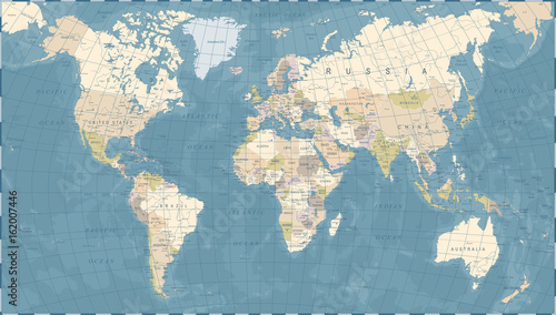
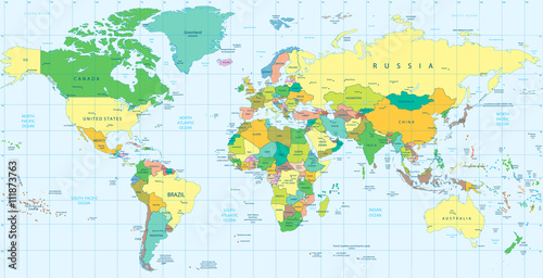
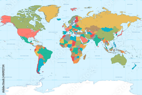
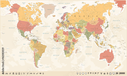
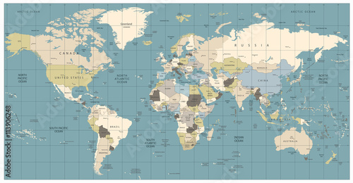
2140x998 mm Lacobel World Map old colors illustration: countries, cities, water obje (#2729)
![Lacobel World Map retro colors illustration - America Centered World Map](http://t2.ftcdn.net/jpg/01/27/35/35/400_F_127353512_sRhe2W12rDckDSo60vDIP9sxFcN7t8Ab.jpg)
![Maska Lacobel World Map retro colors illustration - America Centered World Map](/media/photos/2c/kuchnia-2_33_l.png)
15,00 zł
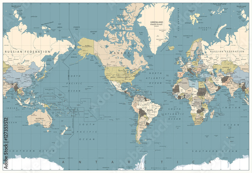
2140x998 mm Lacobel World Map retro colors illustration - America Centered World Map (#2730)