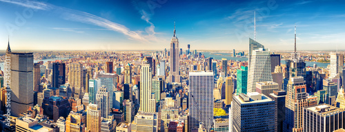
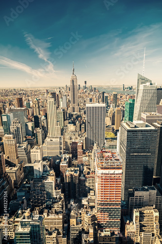
Szkło Laminowane VSG z frazą empire state
Wybierz orientacje
Pion Poziom Panorama


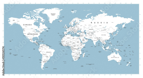
White World Map on Round Blue Waves Background
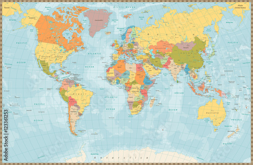
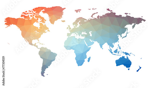
Highly detailed vector illustration of world map. (#2739)

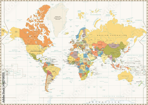

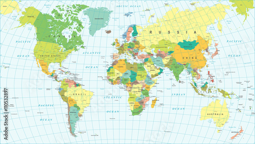
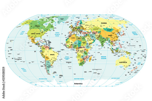
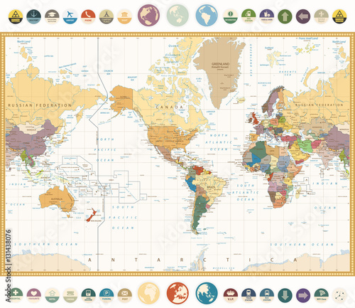
Colored World Map - borders, countries and cities - illustration
Highly detailed colored vector illustration of world map. (#2742)