Szkło Laminowane VSG z frazą polityczny
Wybierz orientacje
Pion Poziom Panorama
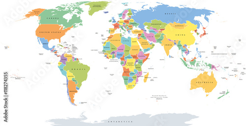
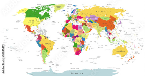
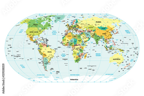
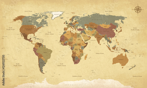
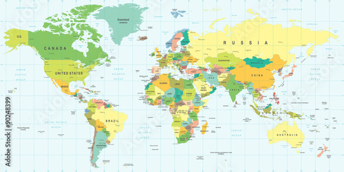
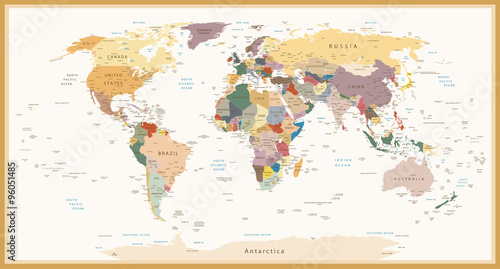
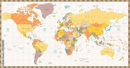
World single states political map with national borders. Each country area with its own color. Illustration on white background under Robinson projection. English labeling. (#2129)
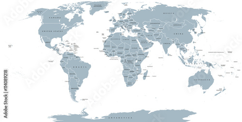
World political map. Detailed map of the world with shorelines, national borders and country names. Robinson projection, english labeling, grey illustration on white background. (#2136)

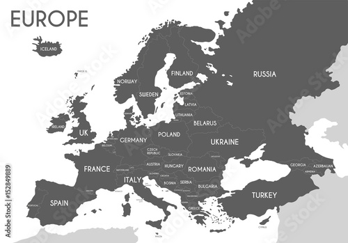
Political map of Europe in gray color with white background and the names of the countries in English. Vector illustration (#2139)