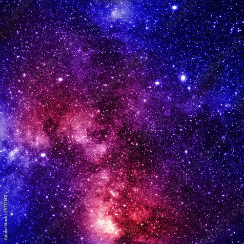
Lacobel Kolory Standardowe z frazą plaża
Wybierz orientacje
Pion Poziom Panorama
![Lacobel Color world map with the names of countries. Political map. Every country is isolated.](http://t2.ftcdn.net/jpg/01/52/11/51/400_F_152115196_fUFCdV7zlrDIC40Co0jnK48j9QND6oHc.jpg)
![Maska Lacobel Color world map with the names of countries. Political map. Every country is isolated.](/media/photos/2c/kuchnia-2_33_l.png)
15,00 zł
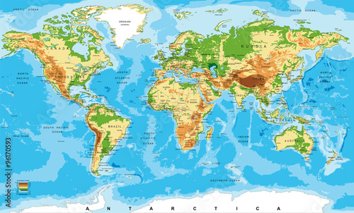
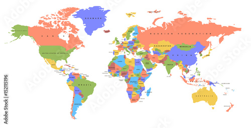
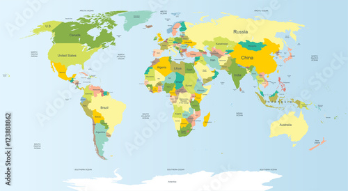
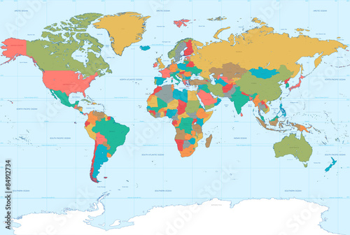
2140x998 mm Lacobel Color world map with the names of countries. Political map. Every country is isolated. (#2089)
![Lacobel Health and Life World Map in Typography, sport, health, fitness word cloud concept](http://t1.ftcdn.net/jpg/01/16/38/98/400_F_116389823_HODeOXlXzawKKb2FDhrQU4o49jvYEYpL.jpg)
![Maska Lacobel Health and Life World Map in Typography, sport, health, fitness word cloud concept](/media/photos/2c/kuchnia-2_33_l.png)
15,00 zł
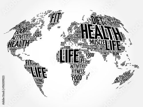
2140x998 mm Lacobel Health and Life World Map in Typography, sport, health, fitness word cloud concept (#2112)
![Lacobel World political map. Detailed map of the world with shorelines, national borders and country names. Robinson projection, english labeling, grey illustration on white background.](http://t1.ftcdn.net/jpg/01/14/08/92/400_F_114089218_6hOhDgDkDcwViV9GGReRRee05GaKqTdn.jpg)
![Maska Lacobel World political map. Detailed map of the world with shorelines, national borders and country names. Robinson projection, english labeling, grey illustration on white background.](/media/photos/2c/kuchnia-2_33_l.png)
15,00 zł
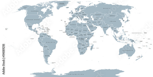
2140x998 mm Lacobel World political map. Detailed map of the world with shorelines, national borders and country names. Robinson projection, english labeling, grey illustration on white background. (#2136)