Lacobel Kolory Standardowe z frazą kartografia
Wybierz orientacje
Pion Poziom Panorama
![Lacobel HELLO Word Cloud World Map in Typography, background concept](http://t2.ftcdn.net/jpg/01/07/51/45/400_F_107514515_Spt5XrIjcVFvn1HVFDQjY5TTHBllm0p5.jpg)
![Maska Lacobel HELLO Word Cloud World Map in Typography, background concept](/media/photos/2c/kuchnia-2_33_l.png)
15,00 zł
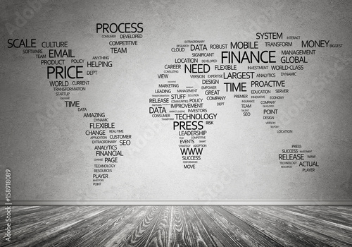
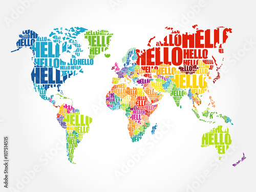
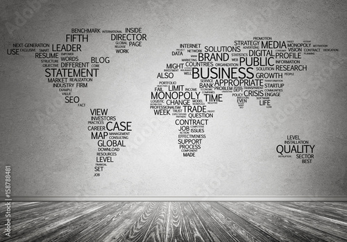
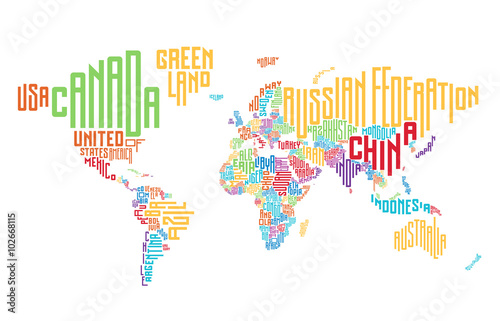
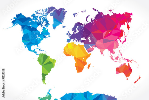
2140x998 mm Lacobel HELLO Word Cloud World Map in Typography, background concept (#2123)
![Lacobel Hi Detail colored Vector Political World Map illustration](http://t2.ftcdn.net/jpg/00/74/59/21/400_F_74592141_1YdmScPy9Ny4Jot2ghQJxwKD1485QiZI.jpg)
![Maska Lacobel Hi Detail colored Vector Political World Map illustration](/media/photos/2c/kuchnia-2_33_l.png)
15,00 zł
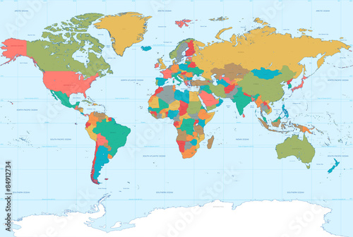
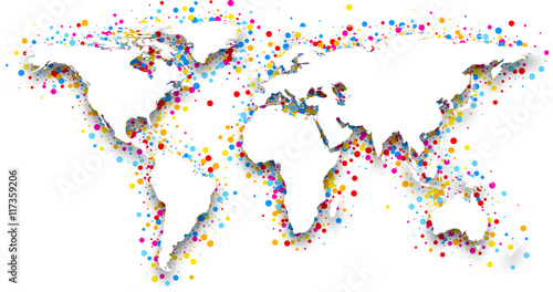
2140x998 mm Lacobel Hi Detail colored Vector Political World Map illustration (#2125)
![Lacobel Europakarte mit hauptstädten - Vintage effekt - Deutsch version - Vektor](http://t1.ftcdn.net/jpg/01/58/13/70/400_F_158137073_RvUcyPzyKUTtSgePANqmxFxr0Ma4iSb0.jpg)
![Maska Lacobel Europakarte mit hauptstädten - Vintage effekt - Deutsch version - Vektor](/media/photos/2c/kuchnia-2_33_l.png)
15,00 zł
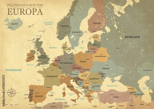
2140x998 mm Lacobel Europakarte mit hauptstädten - Vintage effekt - Deutsch version - Vektor (#2128)
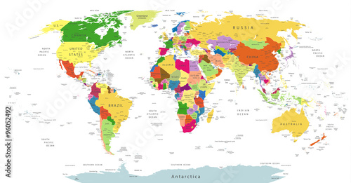
![Lacobel World single states political map with national borders. Each country area with its own color. Illustration on white background under Robinson projection. English labeling.](http://t2.ftcdn.net/jpg/01/18/27/43/400_F_118274355_MkSjO1nQQTy3BLEuQDsUJsUIBh57RlSe.jpg)
![Maska Lacobel World single states political map with national borders. Each country area with its own color. Illustration on white background under Robinson projection. English labeling.](/media/photos/2c/kuchnia-2_33_l.png)
15,00 zł
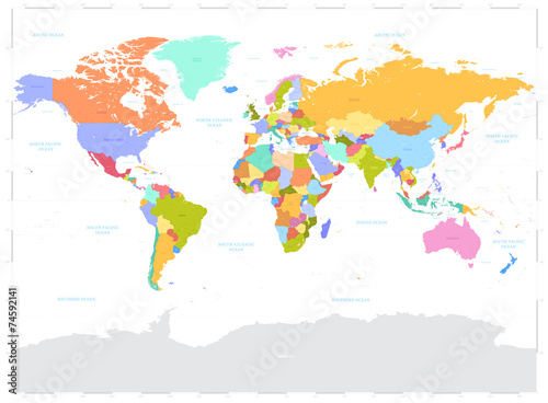
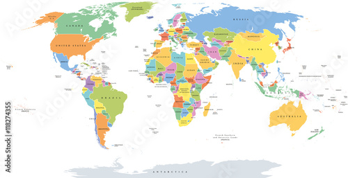
2140x998 mm Lacobel World single states political map with national borders. Each country area with its own color. Illustration on white background under Robinson projection. English labeling. (#2129)
![Lacobel Textured vintage world map - English/US Labels - Vector CMYK](http://t2.ftcdn.net/jpg/01/26/92/27/400_F_126922730_yzwmyw1uPeEPslgHftjdv3deuFAjWOBL.jpg)
![Maska Lacobel Textured vintage world map - English/US Labels - Vector CMYK](/media/photos/2c/kuchnia-2_33_l.png)
15,00 zł
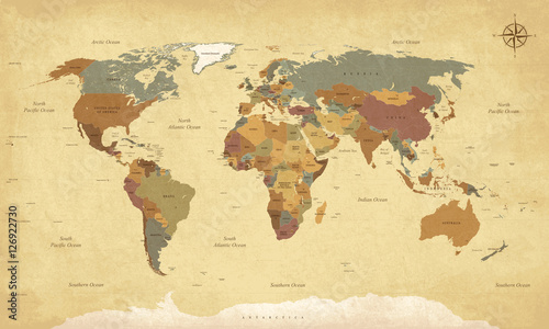
2140x998 mm Lacobel Textured vintage world map - English/US Labels - Vector CMYK (#2130)
![Lacobel Highly Detailed Political World Map Vintage Colors](http://t1.ftcdn.net/jpg/00/96/05/14/400_F_96051485_3HEpITXGrwmoxTezgBbV3R23OiJxIeOB.jpg)
![Maska Lacobel Highly Detailed Political World Map Vintage Colors](/media/photos/2c/kuchnia-2_33_l.png)
15,00 zł
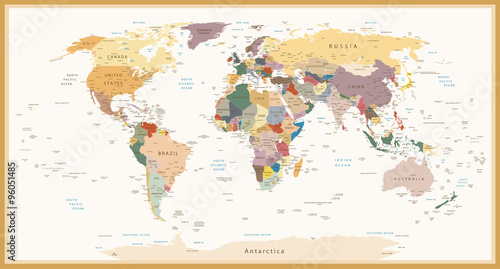
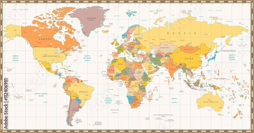
2140x998 mm Lacobel Highly Detailed Political World Map Vintage Colors (#2132)
![Lacobel World political map. Detailed map of the world with shorelines, national borders and country names. Robinson projection, english labeling, grey illustration on white background.](http://t1.ftcdn.net/jpg/01/14/08/92/400_F_114089218_6hOhDgDkDcwViV9GGReRRee05GaKqTdn.jpg)
![Maska Lacobel World political map. Detailed map of the world with shorelines, national borders and country names. Robinson projection, english labeling, grey illustration on white background.](/media/photos/2c/kuchnia-2_33_l.png)
15,00 zł
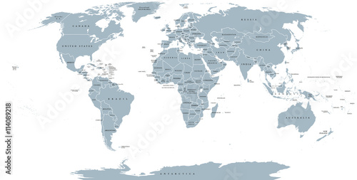
2140x998 mm Lacobel World political map. Detailed map of the world with shorelines, national borders and country names. Robinson projection, english labeling, grey illustration on white background. (#2136)
![Lacobel Planisphère Mappemonde Vintage - Textes en français. Vecteur CMJN](http://t2.ftcdn.net/jpg/01/26/92/35/400_F_126923573_vuICujKVykjjustJkDYq8H4UDf69kxBW.jpg)
![Maska Lacobel Planisphère Mappemonde Vintage - Textes en français. Vecteur CMJN](/media/photos/2c/kuchnia-2_33_l.png)
15,00 zł
2140x998 mm Lacobel Planisphère Mappemonde Vintage - Textes en français. Vecteur CMJN (#2137)
![Lacobel Political map of Europe in gray color with white background and the names of the countries in English. Vector illustration](http://t1.ftcdn.net/jpg/01/52/84/98/400_F_152849889_mLTtdOy4I4VbFoKNdLucHjl3z95XgeFI.jpg)
![Maska Lacobel Political map of Europe in gray color with white background and the names of the countries in English. Vector illustration](/media/photos/2c/kuchnia-2_33_l.png)
15,00 zł
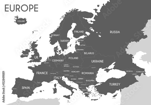
2140x998 mm Lacobel Political map of Europe in gray color with white background and the names of the countries in English. Vector illustration (#2139)
![Lacobel Highly Detailed Political World Map Isolated On White](http://t1.ftcdn.net/jpg/00/96/05/24/400_F_96052492_Iqog1ccr6xWbZJadyyymLL5FeaO7veb4.jpg)
![Maska Lacobel Highly Detailed Political World Map Isolated On White](/media/photos/2c/kuchnia-2_33_l.png)
15,00 zł
2140x998 mm Lacobel Highly Detailed Political World Map Isolated On White (#2145)