Szkło bezpieczne 44.4 antywłamaniowe z frazą europa
Wybierz orientacje
Pion Poziom Panorama
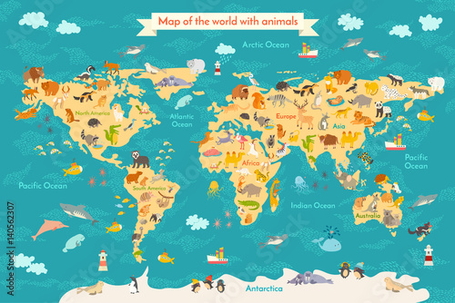
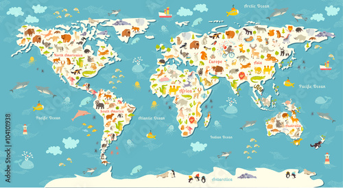
Animal map for kid. World vector poster for children, cute illustrated. Preschool cartoon globe with animals. Oceans and continent: South America,Eurasia,North America,Africa, Australia.Baby world map (#2133)

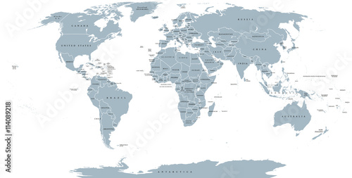
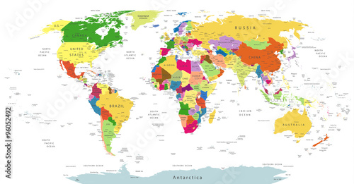
World political map. Detailed map of the world with shorelines, national borders and country names. Robinson projection, english labeling, grey illustration on white background. (#2136)
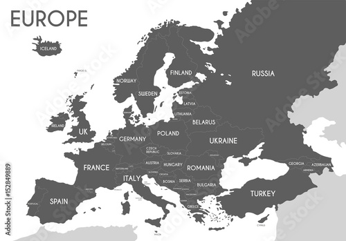
Political map of Europe in gray color with white background and the names of the countries in English. Vector illustration (#2139)
Animals world map. Beautiful cheerful colorful vector illustration for children and kids. With the inscription of the oceans and continents. Preschool, baby, continents, oceans, drawn, Earth (#2141)
Grayscale World Map - borders, countries and cities - illustration
Highly detailed gray vector illustration of world map. (#2151)