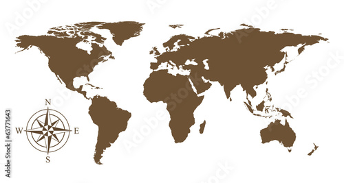
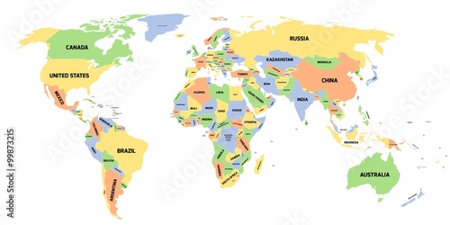
Lacobel World political map. Detailed map of the world with shorelines, national borders and country names. Robinson projection, english labeling, grey illustration on white background.
Zapytaj o produkt
Do ulubionych Autor motywu: ©Peter Hermes Furian id motywu: #2136 Zobacz także motywy:

15,00 zł
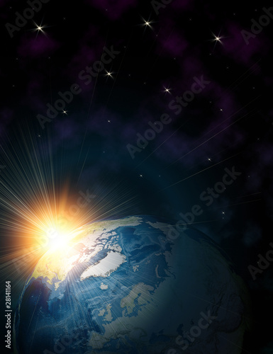
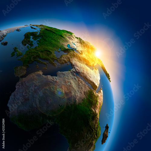
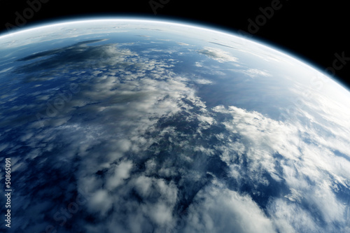
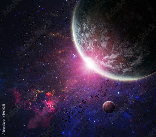
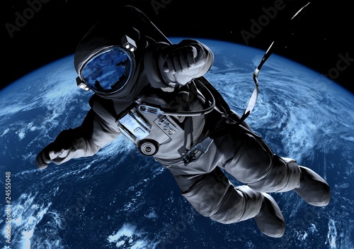
2140x998 mm Lacobel Beautiful space. Elements of this image furnished by NASA (#9743)
15,00 zł
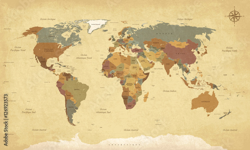
2140x998 mm Lacobel Planisphère Mappemonde Vintage - Textes en français. Vecteur CMJN (#2137)
15,00 zł
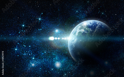
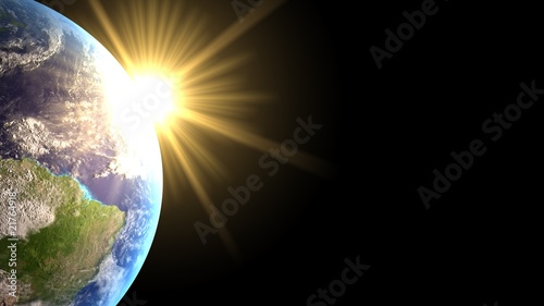
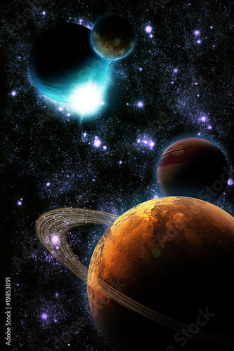
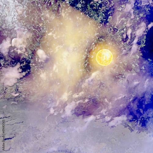
2140x998 mm Lacobel Abstract planet with sun flare in deep space - star nebula again (#10097)


15,00 zł
2140x998 mm Lacobel Colored political World Map and 3D globes with navigation icons (#2087)