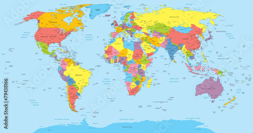
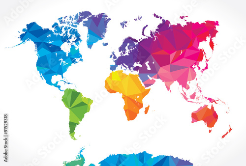
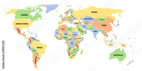
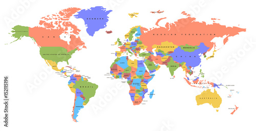
Lacobel Colored political World Map isolated on white
Zapytaj o produkt
Do ulubionych Autor motywu: ©pomogayev id motywu: #2090 Zobacz także motywy:

15,00 zł
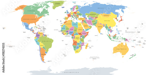
2140x998 mm Lacobel World single states political map with national borders. Each country area with its own color. Illustration on white background under Robinson projection. English labeling. (#2129)
15,00 zł
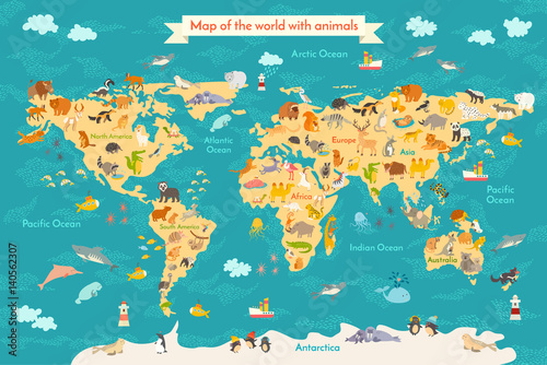
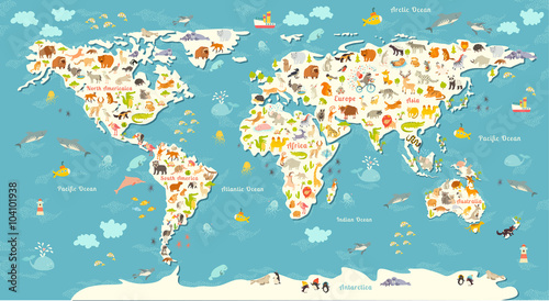
2140x998 mm Lacobel Animal map for kid. World vector poster for children, cute illustrated. Preschool cartoon globe with animals. Oceans and continent: South America,Eurasia,North America,Africa, Australia.Baby world map (#2133)
15,00 zł
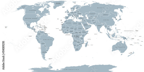
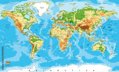
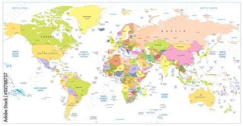
2140x998 mm Lacobel World political map. Detailed map of the world with shorelines, national borders and country names. Robinson projection, english labeling, grey illustration on white background. (#2136)
15,00 zł
2140x998 mm Lacobel Animals world map. Beautiful cheerful colorful vector illustration for children and kids. With the inscription of the oceans and continents. Preschool, baby, continents, oceans, drawn, Earth (#2141)
15,00 zł
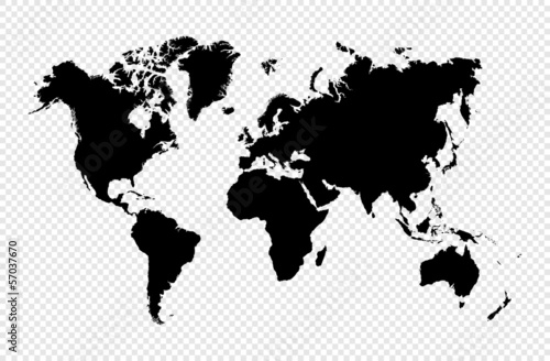
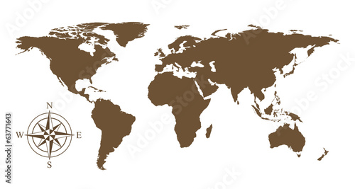
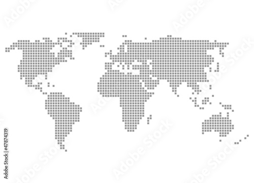
2140x998 mm Lacobel Black silhouette isolated World map EPS10 vector file. (#2714)
15,00 zł
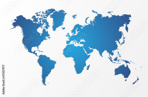
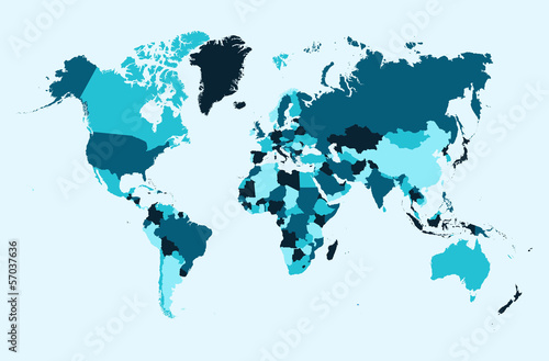
2140x998 mm Lacobel World map, blue countries illustration EPS10 vector file. (#2716)
15,00 zł
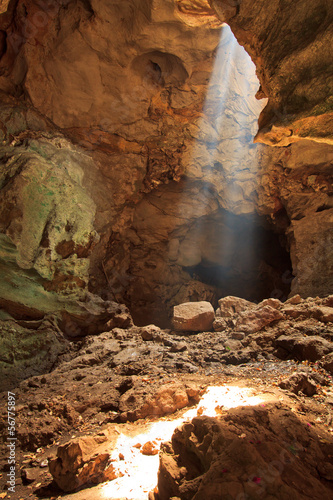
2140x998 mm Lacobel Sunbeam in the cave, Petchburi province of Thailand (#9229)

15,00 zł
2140x998 mm Lacobel Colored political World Map and 3D globes with navigation icons (#2087)
15,00 zł
2140x998 mm Lacobel Color world map with the names of countries. Political map. Every country is isolated. (#2089)
15,00 zł
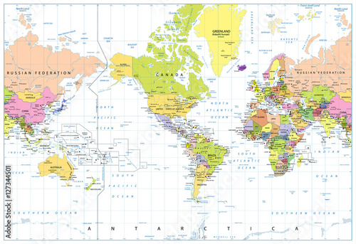
2140x998 mm Lacobel America Centered Political World Map isolated on white (#2091)